Wednesday 24 September 2014

Caledon Section - km 28.4 to km 44.4 - 23 September, 2014


Hikers: Andy, Ann G, Christine, Helgy,  and Steve

Leaders:  Richard and Karen

Section and Distance:  Caledon Section - km 28.4 to km 44.4

Weather:  Sunny and Warm

Actual Distance hiked:  16.97 kms

After parking a car at the 7 Line parking lot, we drove back to km 28.4 on the Escarpment Road to start the hike.
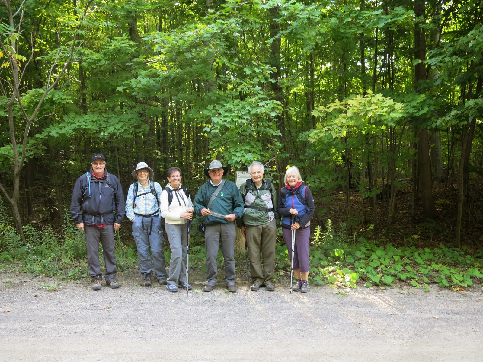

Starting the hike

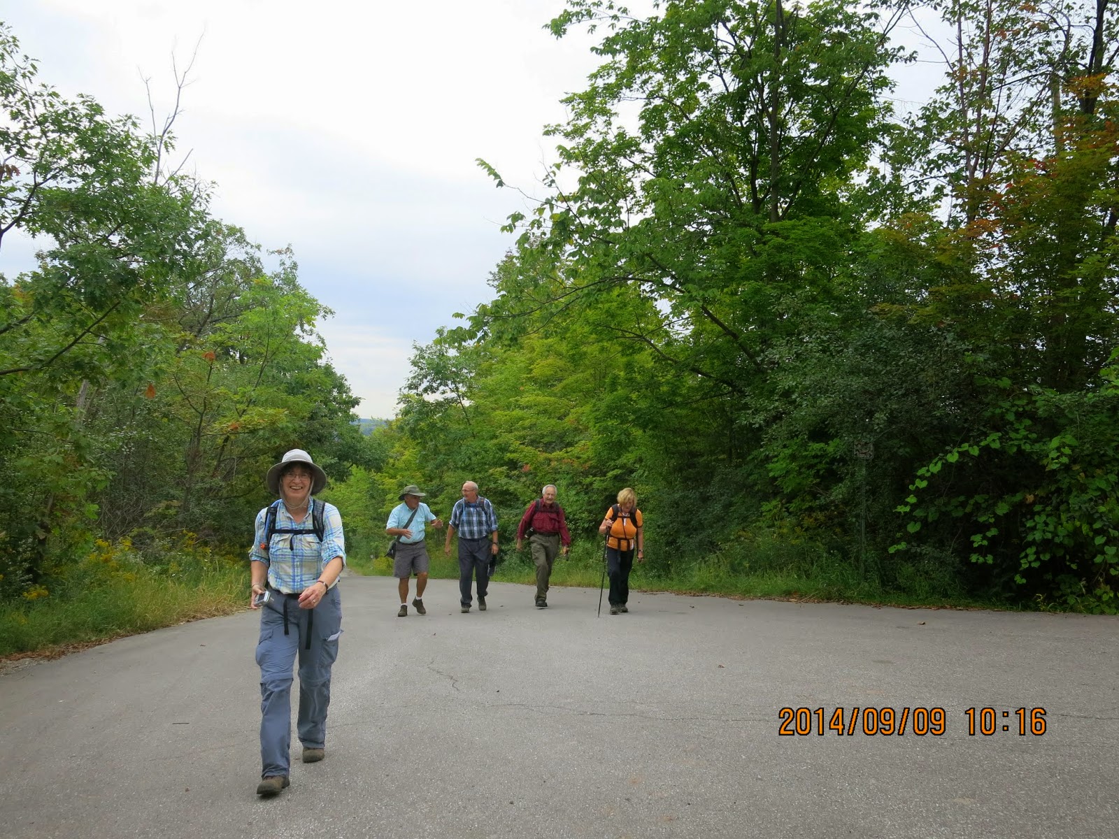
We crossed the road and entered a hardwood forest and hiked for a little less than a km before we returned back to the road near Mountainview Road.

We continued the gradual descent to Airport Road and then hiked along Airport Road to Finnerty Sideroad and Innis Lake Rd.


We continued along a road allowance before following a series of bush paths through Toronto Regional Conservation Authority land.

We then descended into the Dingle (a narrow wooded valley) and then climbed to the junction of the Palgrave Side Trail.


We followed the trail, to Coolihans Sideroad before entering the Glen Haffy Conservation area. 


The trail then took us through open parkland, open fields and corridors between plantations to Highway 9.

After crossing Highway 9 we descended through ceders to a private reservoir and followed a wide path to a bridge over the Humber River.  The trail followed the river until it came to the main reservoir.


We came across this tree and wondered if it was a trail marker tree used by  the Natives and early settlers.

Trail marker trees were an ancient form of land and water navigational aids, as well as a marking system to denote areas of significant importance such as ceremonial sites. These trees were used by many, if not all, of the Native American tribes and later by fur traders and early pioneers.

I have sent the picture to an expert on these trees to confirm if it in fact is one.


Shortly afterwards we reached the junction of the 7th Line Parking Access Trail and took the trail to the car.

 We stopped at Tim Horton's for coffee before retrieving the other car and driving home.


Wednesday 17 September 2014

Caledon Section - km 14.1 to km 28.4 - 16 September, 2014


Hikers: Andy, Ann G, Christine, Helgy, Steve, and Nancy

Leaders:  Richard and Karen

Section and Distance:  Caledon Section - km 14.1 to km 28.4

Weather:  Sunny and Cool

Actual Distance hiked:  16.3 kms
After parking a car at the Forks of the Credit Provincial Park parking lot we drove to the start of the hike where the trail crosses the Escarpment Road at km 28.4 and parked the other cars.
Starting the hike

We entered the trail over a stile, hiking through a woodlot exiting back onto the Escarpment Road after 3 kms.  We continued along the road enjoying the cityscape of Toronto and Mississauga on the horizon.


Cityscape of Toronto  and Mississauga on the horizon


 We continued along the Escarpment Road following the Paris Moraine, a massive ridge of glacial till deposited against the face of the Escarpment by a lobe of the Wisconsin Glacier that advanced out of the Lake Ontario Basin.


We left the road through a pine plantation before we passed through the pedestrian tunnel under Highway 10, continuing along the Escarpment Road to McLaren Road passing Elton John's mansion along the way.


We then entered a road allowance for 1.5 km to the interesection of McLaren Road and Puckering Lane, and hiked Puckering Lane to the entrance of the Provincial Park. 


From  here we hiked to Km 14.1 and took the Meadow Trail back to the car, where we had our lunch.

We stopped at the Coffee Bean restaurant for  coffee before heading home.


Tuesday 9 September 2014

Caledon Section - km 0 to 14.1 - 9 September, 2014


Hikers: Andy, Ann G, Christine, Helgy, Steve, Anne F. and Margaret

Leaders:  Richard and Karen

Section and Distance:  Caledon Section - km 0 to 14.1

Weather:  Cloudy and mild

Actual Distance hiked:  16.5 kms

We left the Iroquois Community Centre at 8:15 and drove to the Forks of the Credit Provincial Park to drop off a car.  We then drove to Olde Base Line and Credit Valley  to park the other 2 cars.
Starting the Hike

We walked for about 300 metres along Olde Base Line to the start of the hike and climbed the stile to enter the trail.  We dropped into a valley and crossed a tributary of the Credit River crossing several boardwalks and passed the bad lands to Chinguacousy Rd.  We followed the trail to the Devil's Pulpit where it descends steeply on steps cut into the rock face.  We continued the descent to Chisholm Street, the Forks of Credit River Rd and entered Dominion Street.


We followed the Forks of the Credit Rd to the Forks of the Credit Provincial Park.  We stropped at the Quarryman's Side Trail for a lunch break along the river.  We continued upstream, crossing two bridges to the rim of the valley to the park's Meadow Trail at km 14.1.  We took the Meadow Trail back to the car park passing the Kettle Lake.


After the hike we all stopped at a restaurant for coffee to settle the finances and to discuss future hikes.