Leader: Karen
Section and Distance: Niagara Km 0.0 to Km 15.2 (Start of Niagara)
Weather: Coldish, Cloudy with little or no wind
Actual Distance hiked: 13.4 Km
 |
| Starting the hike |
After positioning the cars we started the hike at the southern terminus cairn at the eastern end of Queenston Heights Park, which is situated on top of a bluff that marks the shore of Lake Iroquois, the forerunner of Lake Ontario. The floor of Lake Iroquois, called the Iroquois Plain, extends about 11 km northward and is the area where the glacial ice and melt water dropped loads of gravel, sand and clay as the glaciers melted. Today orchards and vineyards thrive on these glacial soils.
We followed the first blaze westward along a row of trees and entered deep woods along the brow of the escarpment on the edge of a quarry.
 |
| First blaze |


We then descended steeply to reach the railway bed of the former New York Central Railway and followed the railway bed south.
We left the railway bed at the intersection of Niagara Townline Rd and Four Mile Creek Rd and passed under Highway 405 and then climbed a 500 metre hill before turning right into the bush along a well-defined pathway. We continued to Dorchester Rd and followed a multi-use trail on the south side of railroad.


We followed the railroad for a short distance and then went down a steep hill, across a small creek and looped around the ravine coming back to the railroad. We then reached the pedestrian bridge across the QEW. This bridge was built with the co-operation of the Ministry of Transportation and Canadian National Railway and was jointly funded by the Province of Ontario, the Region of Niagara and Bruce Trail donors. We continued along the railroad to a concrete underpass known locally as "Screaming Tunnel" before reaching Warmer Road.


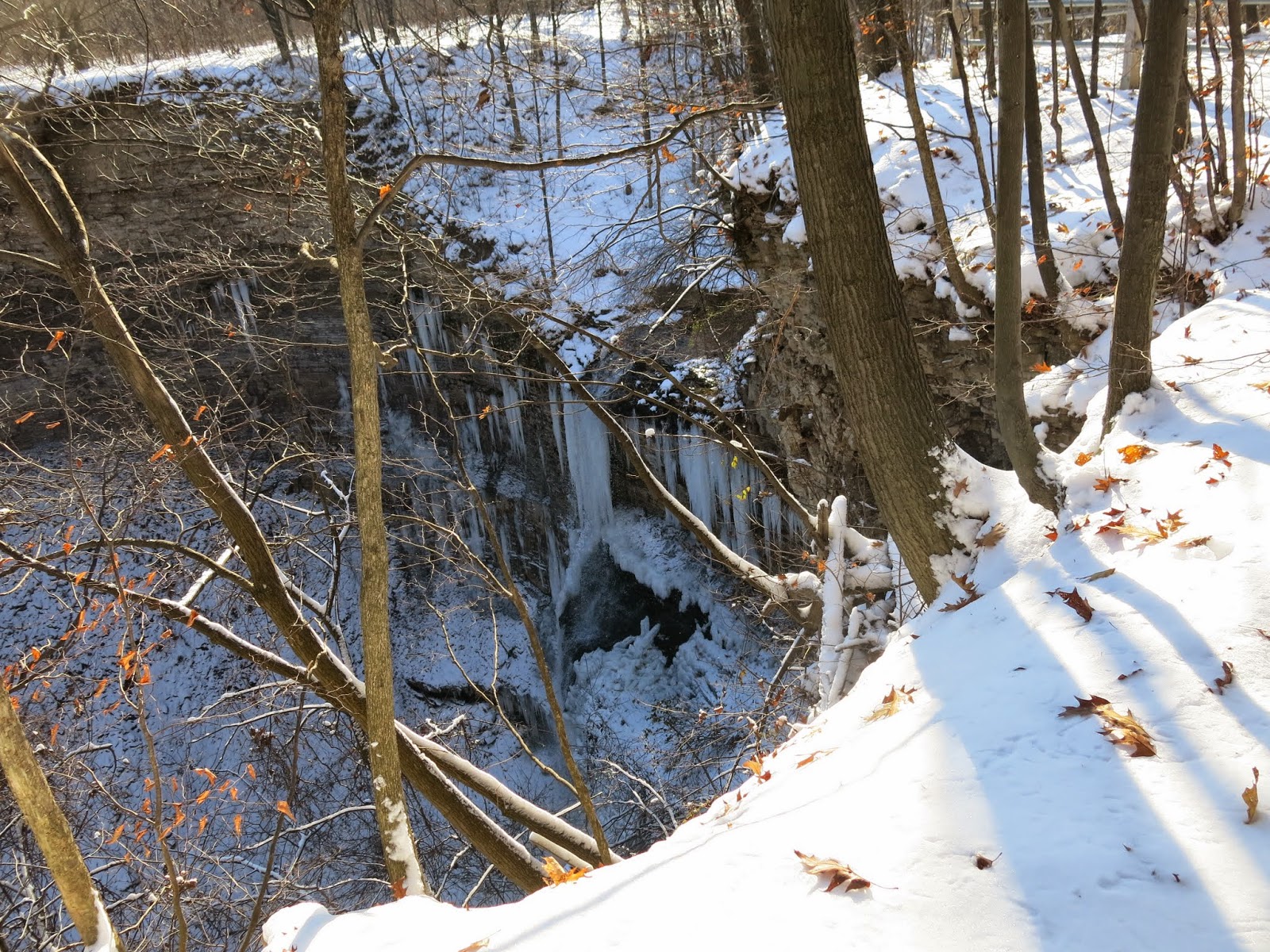
 |
| Pedestrian Brudge |
 |
| Pedestrian Bridge |
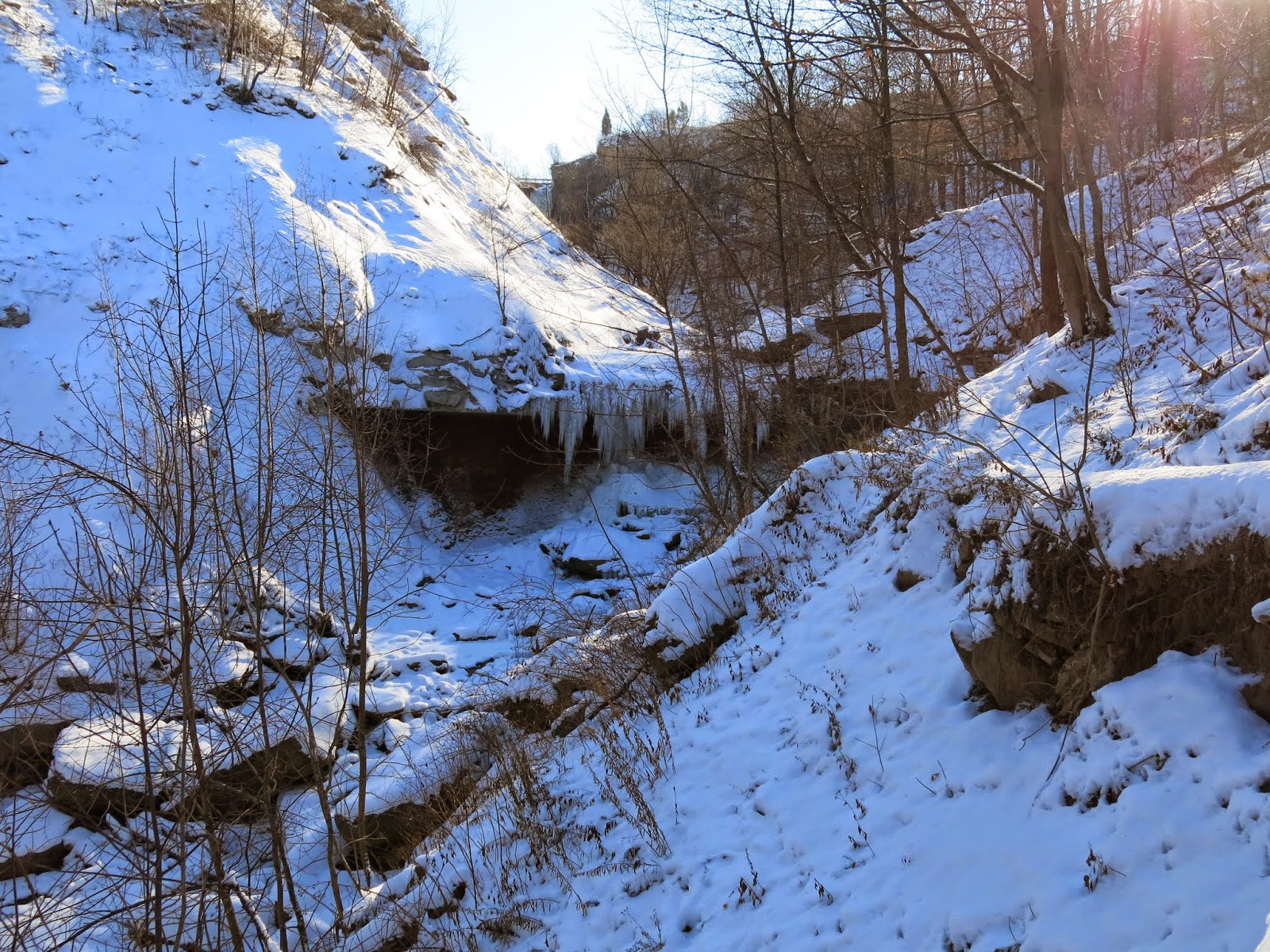
 |
| Screaming Tunnel |
We followed Warmer Road for 1.4 km's before turning right into the woods. The trails in the Woodend Conservation Area were closed due to construction, and we were detoured through the woods to the parking area were we had left our car.
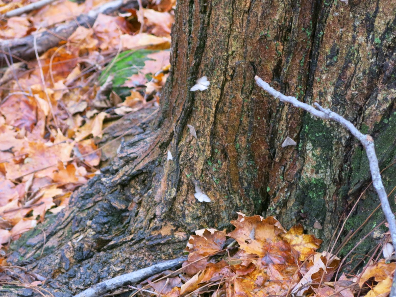
 |
| Boots on a Tree |

We picked up the second car, stopped at Tim Horton's and went home.


