Friday 29 July 2016

Caledon 2 - Chinguacousy Rd km 2.5 to Willoughby Rd km 18.3 July 28, 2016

Hikers: David, Helgy, Andy, Ed (a guest hiker), and Steve (leader)
Weather: Warm and humid but much better than last week


Given the weather forecast, we got an early start and hit the trail by 8 am.


The current dry conditions was evident by this dried up pond.


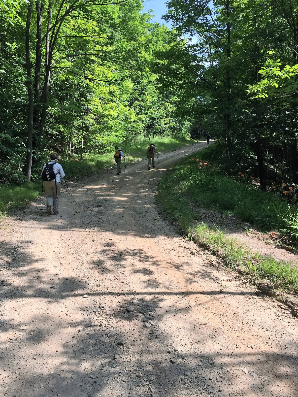
But this morning, it was very humid as we started the hike along the road allowance up to the Grange.


We approached the Devil's Pulpit with appropriate caution.


We all made it down the stairs safely but the fun continued as we hiked down the scree slope.


We finally made it down to the railroad tracks all in one piece with a short hike down to the river and the Forks of the Credit.


We continued the hike along the road through the hamlet of Brimstone and entered Forks of the Credit Provincial Park.  


We paused by the river and some of us cooled our feet in the cool waters before we began the long climb out of the valley.  As we hiked along the crest of the escarpment we stopped to observe strange plants that we believe are called "horsetails" which covered the forest floor.


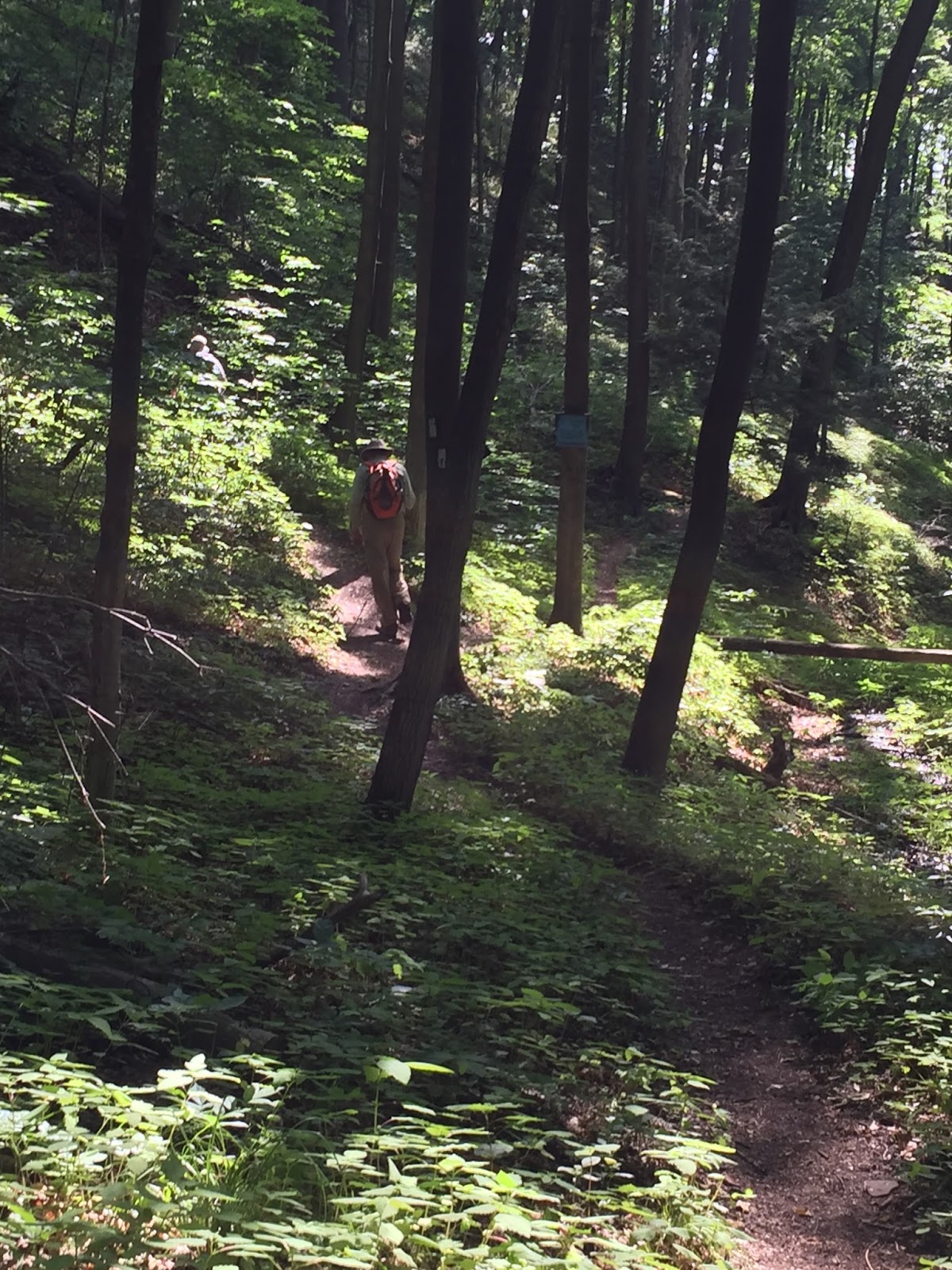
We continued along the trail with occasional glimpses through the trees of the valley below.  We exited the park via a stile which I believe was one of only two for the whole hike (yeah!!)


The trail continued along the edge of the escarpment until we reached Puckering Road where we saw a patch of wild flowers along the trail.


The hazy lighting on the above picture captures the photographer's state of mind as we neared the end of the hike (or perhaps it was moisture on the lens of the camera).


Finally the car came in sight, marking the completion of another trek and all before noon when the real heat of the day arrived.  All that remained was collecting the other car and onward to the Iroquois Center.

Monday 25 July 2016

Blue Mountain I - Lavender km 0.0 to Concession 10 and 12/13 Sideroad km 16.3, July 21st, 2016

Hikers: David, Carolyn, Annette, Eric and Steve (our leader)
Weather: Hot and steamy with a fairly strong breeze that made it somewhat enjoyable


As we expected warm weather we got an early start with cars parked and ready to hike by 8:30 or so. The hikers posed for a respectful photo at our starting point for the day.  The hike proceeded along Mulmar Nottawasaga Townline into the "town" of Lavender and then turned north along a dirt road that quickly turned into the trail.


One of many water breaks that were required given the warm weather.  The trail entered the Noisy River Provincial Nature Reserve and followed along the edge of the escarpment with many crevices and lookouts.


The trail descended gradually into the Noisy River Valley where we paused to admire a small lake and drink some water (from our bottles).


At this point we caught up to a group of hikers as we crossed Concession 10 for the first time, who were intending to hike 20 km that day (and we thought we were crazy).  
After crossing the Noisy River, the trail then began a steep and long climb out of the river valley to Simcoe Road 9 followed by about 3 km of road walking.


Finally reaching the top of a long hill we stopped for water by an old schoolhouse that we speculated that Case may have gone to it at one time.  We proceeded along Side road 6/7 before turning north into a a field and marshy area with an overgrown boardwalk that was barely discernible.


After climbing a gentle slope we found a bridge over a dry creek for our elevensies.


After lunch we proceeded through a series of fields and numerous styles following along the edge of the escarpment which is less dramatic in this area but there are beautiful field vistas.


The grass along the trail was fully grown with footing becoming an issue as we couldn't see our on feet let alone the hiker in front of us at times.  Where is trail maintenance when you need it?


The trail proceeds along the escarpment through a mixed forest with an area of large beech trees.


We came across a picnic table which was appreciated by our weary hikers while some admired the spectacular view down the valley.


A final push through some farmers' fields with ripening grain/wheat and we had completed another segment of our End-to-End.  Only Timmy's and the drive home awaited.


Saturday 9 July 2016

Dufferin Hi-land Hwy 89 and Centre Rd km 15.2 to 1st Line East, Mulmer Township km 29.4, July 7th 2016

Hikers: David, Bill, Annette and Eric
Leader: Steve, (Behind the camera)  
Weather hot!

Looking back to parking and Hurontario St (Centre Rd)

Following Centre Rd road allowance into Boyne Valley where 4 bridges and 60m of boardwalk keep the trail passable.

Murphys pinnacle up a short side trail affords a panoramic view of the area.

 Up and down numerous valleys the trail goes luckily mostly shaded.

Another bridge!

 Then the trail follows the edge of the Boyne river ravine for a while. then up and down again eventually following the 2nd line road allowance and 2nd line past 8 side road before reentering the bush to descend into the Oliver Creek valley.
 With a final meander past the Enchanted Forest Side Trail whose allure was resisted

the trail emerges onto 1st Line East Mulmer at the BTC parking lot.
A welcome break.

Once back at the car it was down to 89 to pick up the other vehicle and home.