Saturday 19 March 2016

Iroquoia Km 78.8 to Km 91.7 - 17 March, 2016

Section from where the Fisher Access Trail meets the Bruce Trail at km 78.8 to the 
Mt. Nemo Parking Lot.
The weather was excellent for hiking, sunny, a slight wind and a temperature of +6C.

Today,s hikers; Case, Andy, Christine, Fiona, Eric, Mike, John N. (our leader), Anita, Annette, Steve and Stefan. 
We parked the cars on Springer Crescent and followed the Fisher Access Trail to the 
Bruce Trail and headed east. 
A 'natural bridge' across an unexpected lake. 
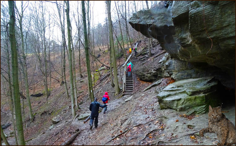
We still encounter a fair bit of mud along the trail.
The Trail skirts the north edge of Fisher's Pond. 

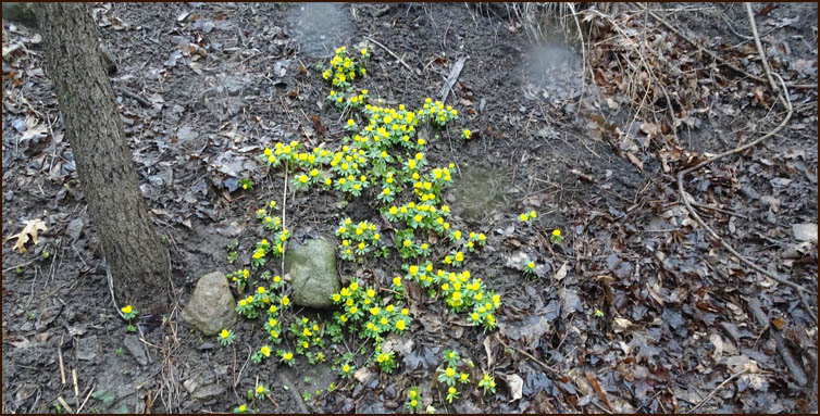
The Trail wanders through beautiful woodland until we reach Guelph Line. 


The Trail emerges onto #1 Sideroad which we follow for 1.7 km and turned north on 
Walkers Line. Where Walkers Line meets #2 Sideroad we turn west. 
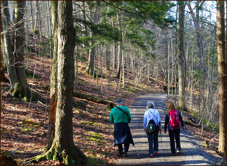
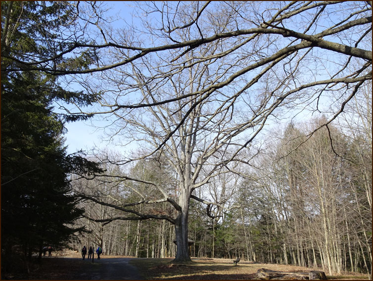
We follow a road allowance into the Mt. Nemo Conservation Area and work our way 
to the top of the escarpment. 


A view from the top looking east.
Hey, what are you guys looking at? 
I can't see anything ..... is it a bobcat? 
No, silly, its a goose.
Thanks to Andy's picture I can see it now. 
We relax at the Observation platform to enjoy another view. 
We can see the high rises of Mississauga and Toronto in the distance. 

We follow a loop back to the Mt. Nemo car park. 

The rain has held off until we get in the cars and head back to Oakville.
Thanks to Andy for some of his pictures.

Monday 14 March 2016

Iroquoia Km 67.6 to Km 78.8 - 10 March, 2016

This section from where the Bruce Trail crosses Snake Road at km 67.6 to the junction
 of the Fisher Access Trail at km 78.8.

It had rained during the night but when our troup of intrepid, and blindly optimistic, 
hikers left the John Colborne Centre the rain had stopped and the temp was a balmy 9C.
Today's hikers; Steve; Christine; Anita; John G; Helgy; Karen, our leader; Andy; Case 
and John Nourse at the back of the class. 
In a light drizzle we followed an old road allowance to the edge of the 
Grindstone Creek Valley. 
The rain began to get a bit heavier until we gave in and finally stopped 
for an equipment adjustment. 

Crossing the bridge over Grindstone Creek. 
We follow the creek upstream and finally quit trying to sidestep the muddy spots. 

The Trail crosses unstable valley slopes and eventually reaches steps leading to a 
switch back and then opens up into the Smokey Hollow Parkette. Still raining. 
The hardy Winter Aconite likes the rain and Andy knows his horticultuure.
Great Falls at Smkey Hollow Parkette. 
Still raining ..... 


Humm maybe I should have worn my gaiters. 
And back at the car ........???
Andy said he felt like he had spent the last couple of hours mud wrestling.

Friday 11 March 2016

Iroquoia Km 46.4 to Km 58. 9 March, 2016

This section stars at Sherman Falls km 46.4 and ends at thSydenham Lookout
 on Sydenham Road km 58.6.
The weather was absolutley Spring like, with sunshine and a temp of  14C.

Today's hikers; Steve; Andy; Christine; Helgy; Karen, our leader and Stefan.
Case, the photog was not quick enough to get into the picture.
We started up Lion's Club Road and entered the Dundas Valley Conservatio Area. 


The Trail leads up and down several hills - kame moraines, typical of the Dundas Valley 

 The Horse Whisperer ?       No, a retired Ear, Nose & Throat Specialist
 Hellooo Ladies .... what are you doing after lunch?
 You could tell Spring was in the air, 
we stopped many times to enjoy the natural beauty around us.


 The Golf Course looked inviting and
these wee flowers, Coltsfoot, got the photographers all excited

 Run Andy run .....
 The last climb bedore we get to the Sydenham Outlook.
Some of us got back to the car sooner than others.