Tuesday 10 February 2015

Toronto Km 33.1 to Km 41.2 - 10 February, 2015

Hikers: Helgy, Case and Steve

Leaders:  Richard and Karen

Section and Distance:  Toronto Km 33.1 to Km 41.2

Weather:  Sunny and relatively mild with little wind..

Actual Distance hiked: 8.05 km
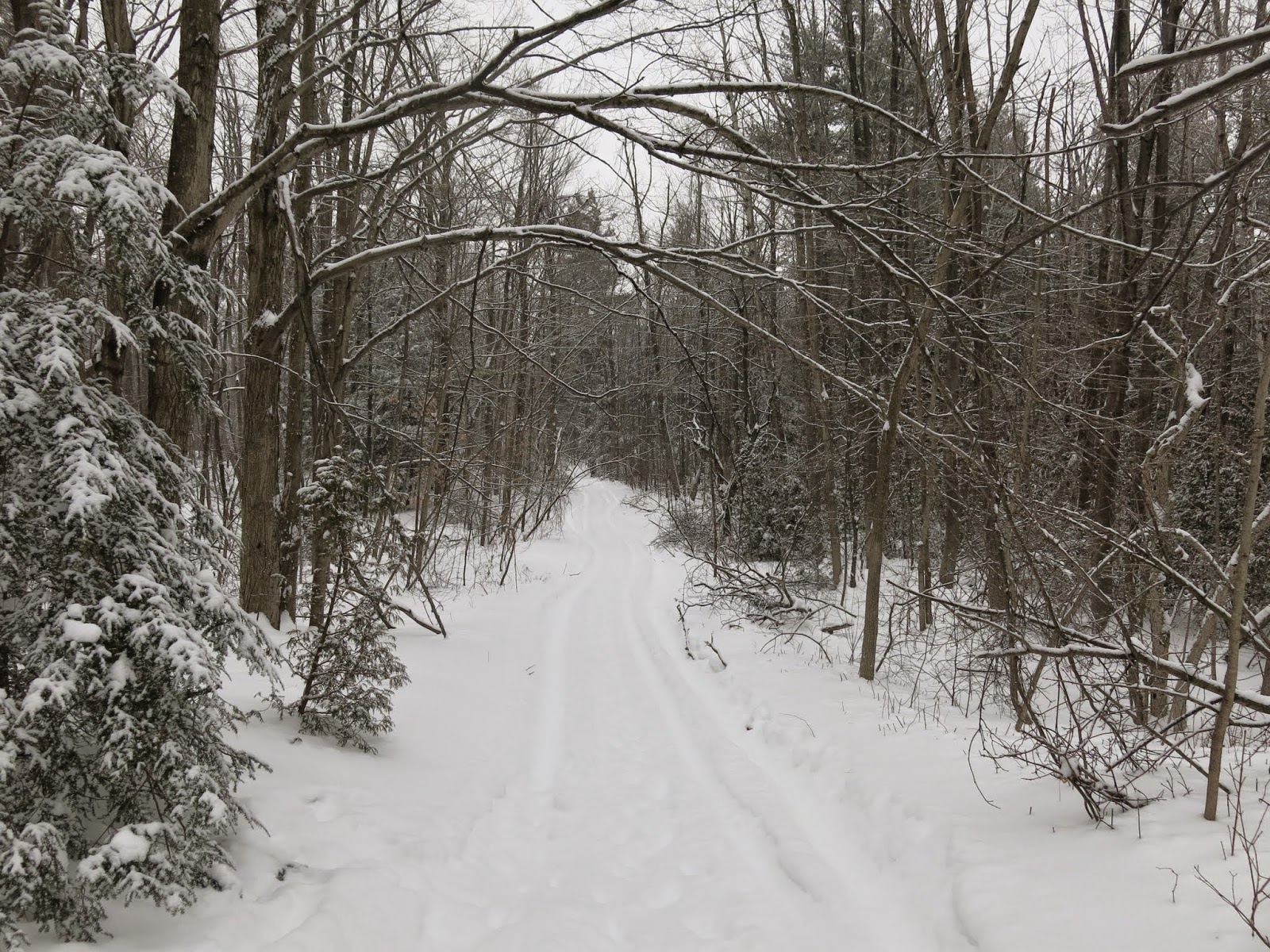
Starting the Hike


After positioning the cars we started the hike on Eight Line.   We walked down Eight Line to the trail.  We crossed the stream and followed the contours of the valley.

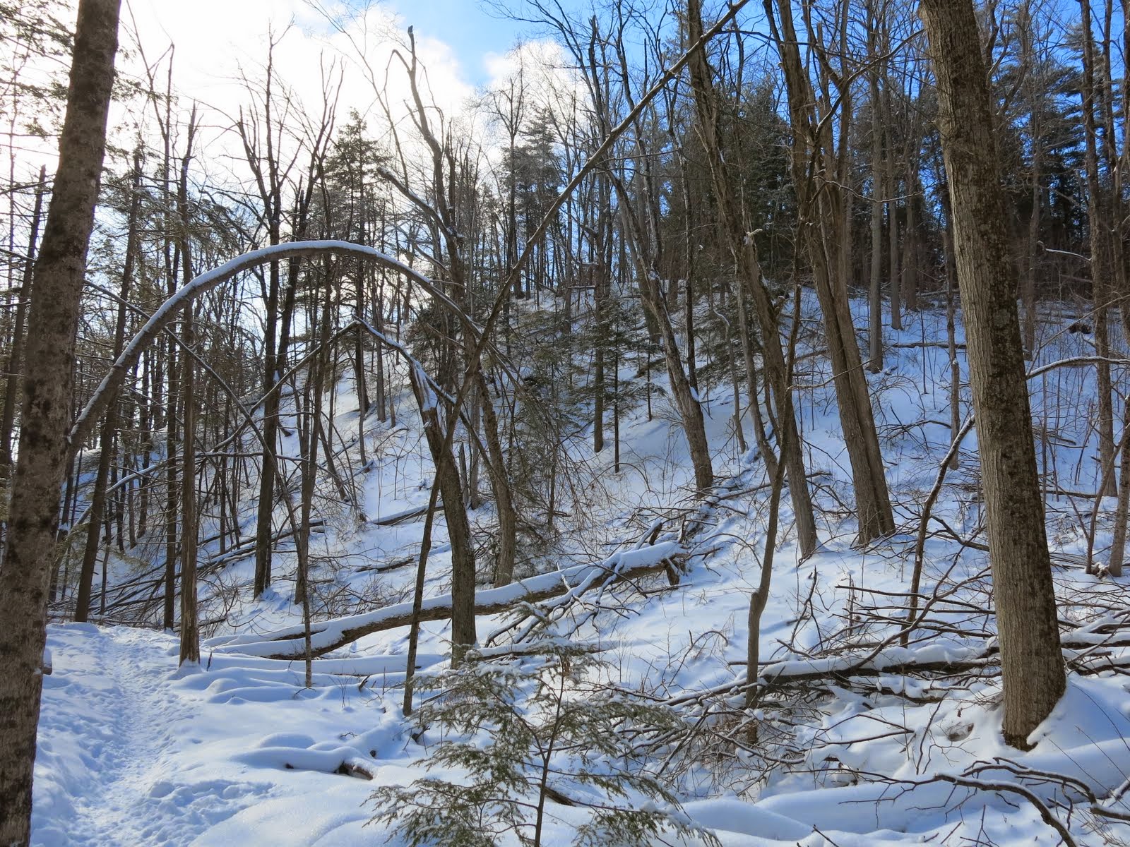
We turned left and crossed Owl Creek and climbed the escarpment at Fallbrook.  

We crossed the road and climbed the escarpment to a lookout.


We headed north through a mature woods to the steep wall of the Silver Creek Valley and then followed the top of the slope.  We continued north for about a kilometre before descending towards Tenth Line via a series of steps.

We followed Tenth Line for 200 metres and descended by steps to the Credit Valley Footpath.  We continued east through the Terra Cotta Conservation Area and followed area trails before turning south and emerging at the western end of Caledon Trailway where we had parked our car.


Today's hike was well trodden and was much easier to navigate compared to last week. 

We picked up the second car, stopped at Tim Hortons and drove home.


Wednesday 4 February 2015

Toronto Km 11.2 to Km 21.3 - 4 February, 2015


Hikers: Helgy, Case, Ann and Steve

Leader:  Karen

Section and Distance:  Toronto Km 11.2 to Km 21.3

Weather:  Cloudy and mild with some wind.

Actual Distance hiked: 10.87


 We left the pear tree parking lot and followed a fire access road before turning left into a field.  We continued hiking north following a series of rocky ridges through open woodland to Sideroad 17.  The trail was snow covered and very pretty but very difficult to hike.  At times the drifts were up to our waists.  


We crossed the road and passed through a regenerating field and climbed into mature woods to the Third Line road allowance.  


We continued through a mixed forest to reach Fourth Line.  We crossed Fourth Line and continued along a fence line to a farmer’s field.  We then crossed into a small woodlot and passed under two power lines and continued alongside more fields to Fifth Line.  The drifts on these fields were up to our waists at times and very tiring to hike.  The team took turns breaking trail.

We turned left and followed the road for 100 m before turning right and climbed a rock face into the Limehouse Conservation Area.  We crossed an abandoned roadway and hiked 400 m to the Limehouse Access Trail. We continued past a series of rock fissures before dropping through the Hole-in-the-wall on two ladders.  


We followed the bed of the old Toronto Suburban Radial Railway.  We then crossed Black Creek near the remains of an old mill and past lime kilns.


We continued onto Sideroad 22 where we had parked our car.

We picked up the car at the pear tree parking lot, stopped at Tim Horton’s and drove home.

Tuesday 3 February 2015

Iroquoia Km 91.7 to Km 98.8 - 3 February, 2015

Hikers: Helgy, Case, Ann and Steve

Leader:  Karen

Section and Distance:  Iroquoia Km 91.7 to Km 98.8

Weather:  Sunny and cold with some wind.

Actual Distance hiked: 7.2 km


Starting the hike
After positioning the cars we started the hike from the Mount Nemo parking lot.  We crossed Guelph Line and followed Colling Rd to Blind Line.  We turned right onto Blind Line and followed it passed some rural properties to Britannia Road.


We then followed an unopened road allowance into the Bronte Creek Valley to a steel bridge over Bronte Creek.  The trail had not been used since the recent snow storm so we were breaking trail through the new snow.  The snow at this point was relatively light and easy to hike through.


We then hiked across a 100 m boardwalk which lead through a swamp.  We then climbed up the north side of the valley to the intersection of No. 8 and Twist Raod.  It was on this stretch that the snow had drifted and was much deeper making the hiking much more difficult.


We continued along No. 8 Sideroad for 700 m and then turned right onto Panton St in the Village of Killbride.  We followed Panton St to the parking lot of school where we had left the other car.

We checked out the parking lot of tomorrows hike, picked up the other car at Mount Nemo, stopped in at Tim Hortons and went home.