Hikers: Helgy, Case, Ann and Steve
Leader: Karen
Section and Distance: Toronto Km 11.2 to Km 21.3
Weather: Cloudy and mild with some wind.
Actual Distance hiked: 10.87


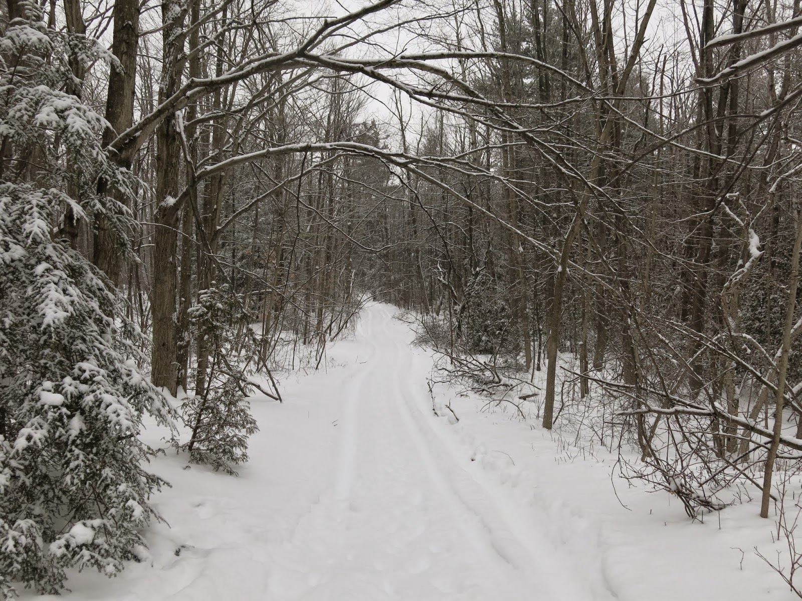
We crossed
the road and passed through a regenerating field and climbed into mature woods
to the Third Line road allowance.


We continued
through a mixed forest to reach Fourth Line. We crossed Fourth Line and continued along a
fence line to a farmer’s field. We then
crossed into a small woodlot and passed under two power lines and continued
alongside more fields to Fifth Line. The drifts on these fields were up to our waists at times and very tiring to hike. The team took turns breaking trail.
We turned
left and followed the road for 100 m before turning right and climbed a rock
face into the Limehouse Conservation Area.
We crossed an abandoned roadway and hiked 400 m to the Limehouse Access
Trail. We continued past a series of rock fissures before dropping through the Hole-in-the-wall on two ladders.


We followed the bed of the old Toronto Suburban Radial Railway. We then crossed Black Creek near the remains of an old mill and past lime kilns.


We picked up the car at the pear tree parking lot, stopped at Tim Horton’s and drove home.
No comments:
Post a Comment
Note: only a member of this blog may post a comment.