Friday 26 August 2016

Dufferin - Pine River - Km 29.4 to Km 41.7 - August 25th 2016

Hikers: Bill, Eric, Annette, David, and Steve
Weather: Warm and humid but with a breeze


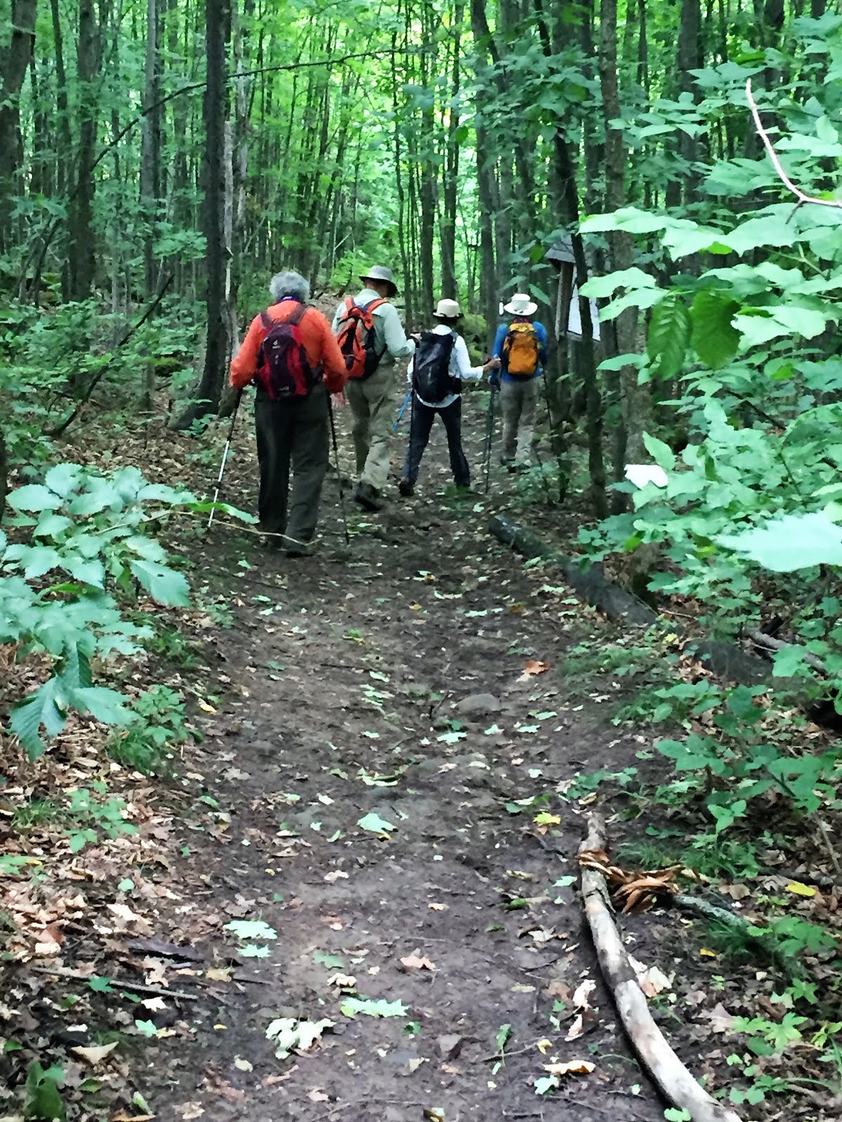
After parking the cars we started off at the south end of the trail which begins in a forest with a series of crevasses.


After crossing a natural bridge over one of the crevasses we continued on through the forest.


The trail soon exited the forest and continued along Side Road 10 towards the former town of Whitfield with the abandoned church the only structure remaining.


The trail continued North on Center Road and one of us had a distinctly faster pace than the rest over this portion of the hike.


Along the way we passed this attractive farmhouse...


but soon reentered the forest and descended into the Pine River valley along a narrow road.


We soon came into the town of Kilgorie where this former schoolhouse had been converted to a home.


After a brief road walk we reentered the forest adjacent to the Pine River.


We soon came across an abandoned power plant that was apparently the largest in Ontario in its time. Of course we had to investigate and capture photos for those not here.


Interior view of the power plant and...


Exterior view.


The trail continued to follow the Pine River and steadily climbed...


until the Pine River Fishing lake was reached.


We climbed up another half kilometer to the Bell Lookout where we had our elevensies.  Note the shy hiker who didn't want his face photographed.


After admiring the view over the Lake we continued on our hike.


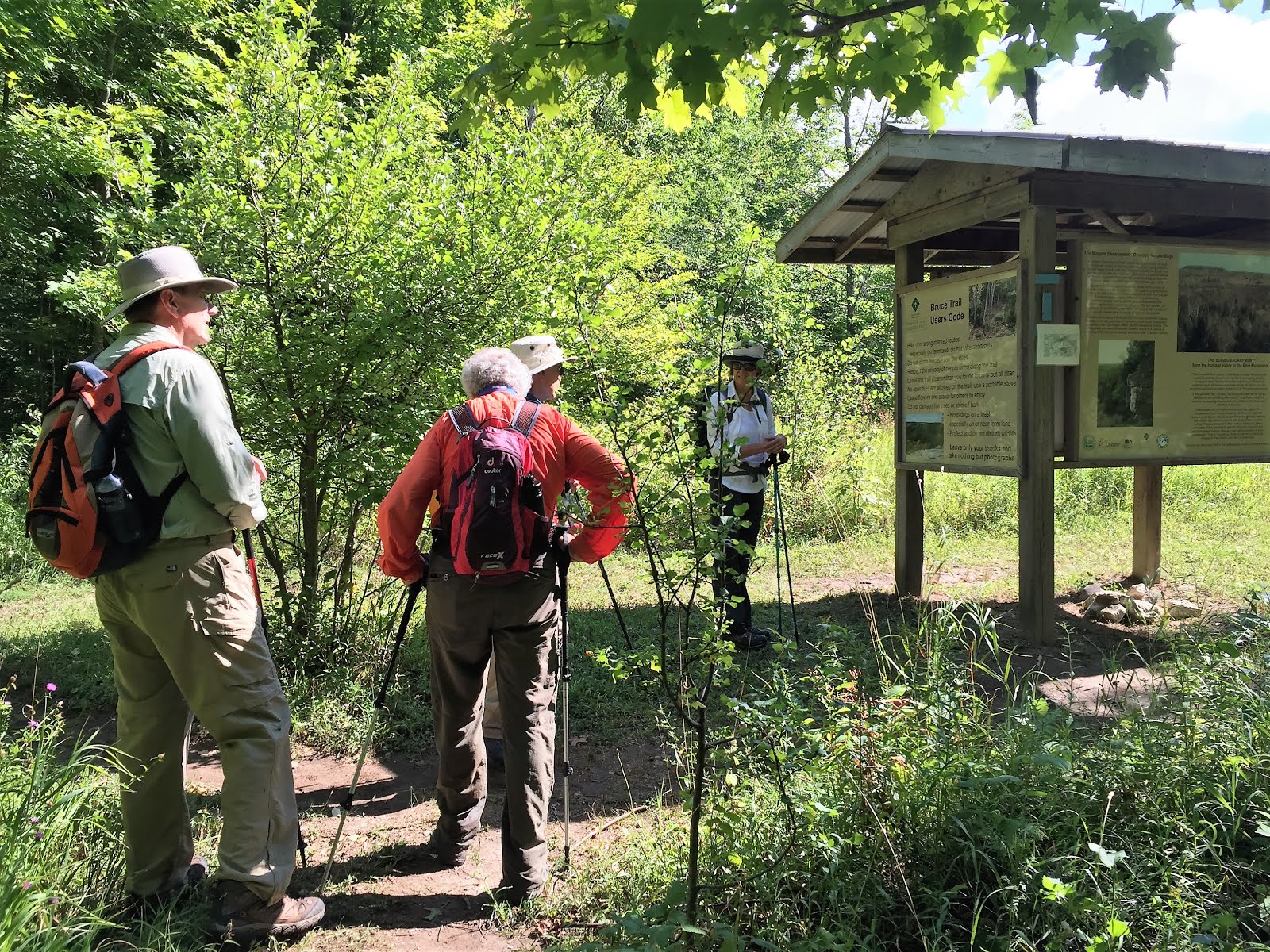
After hiking on a gravel road for a awhile we reentered the forest crossing the only stile on this segment of the trail.

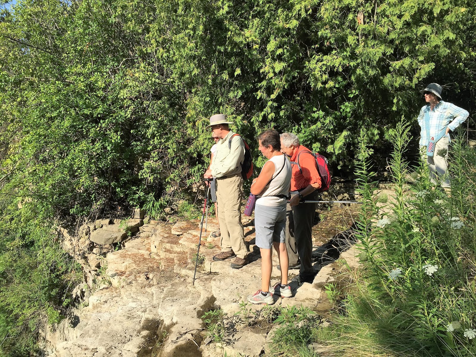
Nearing the end of the hike the group paused to admire the creek and regain our energy for the final stretch.


After returning to the road we passed an old barn which no longer seemed to be in use.


We finally arrived at our destination with this Maple tree that was already turning colour, marking the end of today's hike


After the car shuffle it was once again off to Timmies and home.

Sunday 21 August 2016

Blue Mountain - Devil's Glen - Km 13.8 to 30.1 - August 18, 2016

Hikers: David Annette, Eric, Andy, and Steve (Leader)
Weather: Somewhat cooler than our last few hikes but still steamy at times.


After parking the cars we started off up a gentle climb though old farmland.


We soon entered a mixed forest as we climbed the escarpment.


After some discussion of the attractiveness of a blue trail shortcut we continued on the main trail.


We soon passed a wheat field that to my untrained eye looked ready to be harvested.


After crossing a wet patch we re-entered the forest which was very humid.


After a stretch of rocky trail at the base of the escarpment we had a brief break at a rather weathered picnic table.


We stopped briefly to review the map and literature prior to going on the Keyhole Side Trail.  (Note the fancy photo effects  achieved by a lack of photographic skills in this shot).


Entering the Keyhole Side Trail.


After a strategic wrong-turn by our leader to see this dramatic crevasse, we returned to the Keyhole ST.


and finally through the Keyhole.


and back to our starting point on the main trail.


The trail follows along the top of the escarpment for several kilometers through a mixed forest


and adjacent to abandoned farmland of goldenrod ....


A clover field ...


and Soybeans?


We soon came upon the Devil's Glen ski hill and after a brief side trip to see the view (some might suggest we made a wrong turn)....


We returned to the main trail.


and began our descent following cross country ski trails.  


No mud this time!


And finally the Mad River came into view ...


followed by a steep climb with our car waiting at the end...


and an explanatory plaque captured here for those who didn't read it after climbing for what seemed like forever up that final slope!


After doing the car shuffle we were off to Timmy's and home.


Sunday 14 August 2016

Iroquoia - Sydenham Rd. to Snake Rd.Km 58.6 to 67.6 August 11, 2016

Hikers: David, Andy, Christine,  Ann, Helgy, and Steve (Leader)
Weather:  Hot, sunny and muggy


Given the weather we got an early start, hitting the trail by 8:45.    We were all wondering where the name Sydenham came from so David undertook to research this with the following result:

"Lord Sydenham: Lieutenant Governor of Upper Canada between 1839–1840 and Governor General of the Province of Canada 1840-1841.  [The Province of Canada was the union of Upper Canada and Lower Canada]

Sydenham introduced a vast expansion of the Province of Canada state apparatus through the introduction of municipal government. Areas not already governed through civic corporations or police boards would be governed through centrally controlled District Councils with authority over roads, schools, and local policing."

After a brief look at the spectacular view from the lookout we began the hike.


The trail is luckily largely in the shade as the direct sun was steamy as this photo of Hamilton harbor in the distance indicates.


A brief early stop to admire the view and read the info markers.


Our next stop was to stand at the top of Borer's falls which had disappeared!


And an alternative view of the "Falls".


Hamilton Harbor still looking hot.


We soon began the descent down the escarpment....


and into a mature forest on a series of hills and creek valleys.


A brief water break and respite from the heat was enjoyed as we crossed yet another dry creek bed.


We didn't stop to read this plaque so I include it for your reading pleasure.