Weather: Somewhat cooler than our last few hikes but still steamy at times.

After parking the cars we started off up a gentle climb though old farmland.

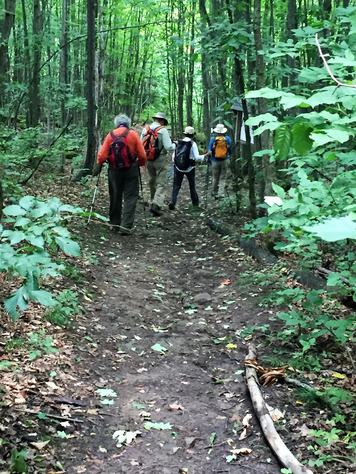
We soon entered a mixed forest as we climbed the escarpment.
After some discussion of the attractiveness of a blue trail shortcut we continued on the main trail.

We soon passed a wheat field that to my untrained eye looked ready to be harvested.


After crossing a wet patch we re-entered the forest which was very humid.

After a stretch of rocky trail at the base of the escarpment we had a brief break at a rather weathered picnic table.

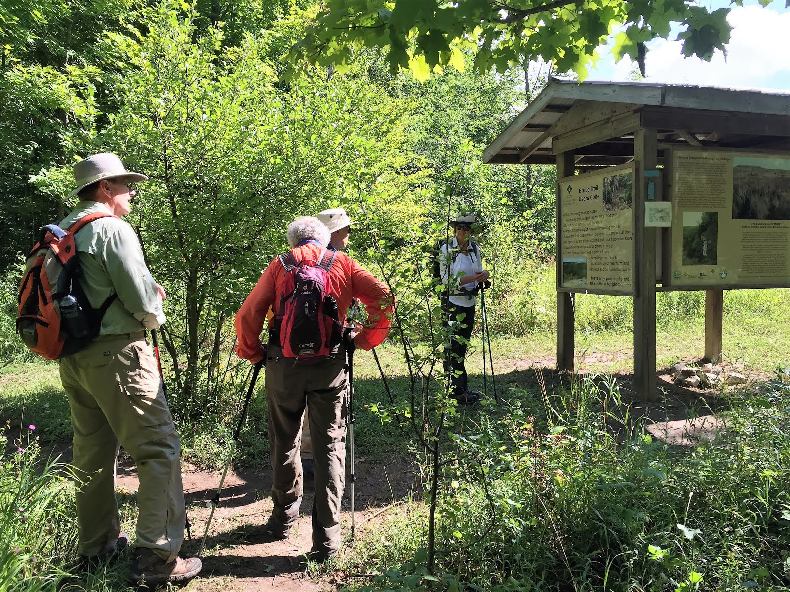
We stopped briefly to review the map and literature prior to going on the Keyhole Side Trail. (Note the fancy photo effects achieved by a lack of photographic skills in this shot).

Entering the Keyhole Side Trail.

After a strategic wrong-turn by our leader to see this dramatic crevasse, we returned to the Keyhole ST.


and finally through the Keyhole.

and back to our starting point on the main trail.
The trail follows along the top of the escarpment for several kilometers through a mixed forest


and adjacent to abandoned farmland of goldenrod ....

A clover field ...

and Soybeans?

We soon came upon the Devil's Glen ski hill and after a brief side trip to see the view (some might suggest we made a wrong turn)....

We returned to the main trail.

and began our descent following cross country ski trails.


No mud this time!

And finally the Mad River came into view ...

followed by a steep climb with our car waiting at the end...

and an explanatory plaque captured here for those who didn't read it after climbing for what seemed like forever up that final slope!

After doing the car shuffle we were off to Timmy's and home.
No comments:
Post a Comment
Note: only a member of this blog may post a comment.