Hikers: Steve, Helgy, Christine and Case
Leader: Karen
Section and Distance: Beaver
Valley Km 98.7 to Km 113.8
Weather:
Coldish and windy
Actual Distance hiked: 16.3 km
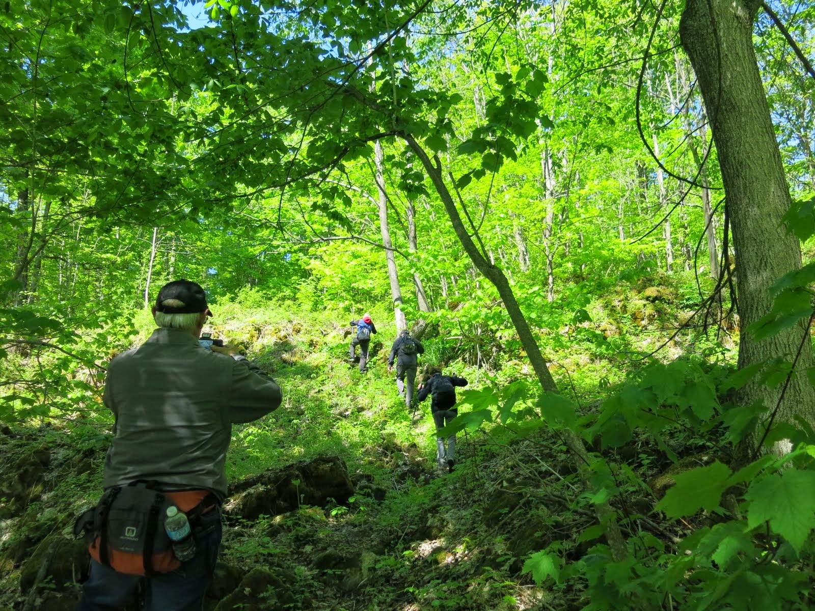
After our breakfast we positioned the cars and started the hike. It was another perfect hiking day - coldish and windy with no bugs.
 |
| Starting the hike |
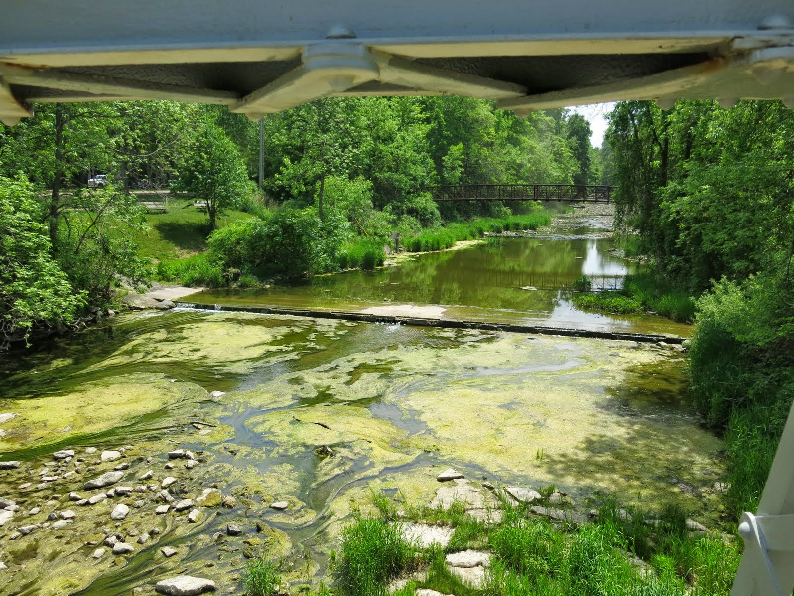
We followed Sideroad 25 to the west and entered the Webwood Falls Property. This property was donated to the BTC in 2011. The property contains the Webwood Falls which is fed by five coldwater streams that successfully spawn many species of fish.
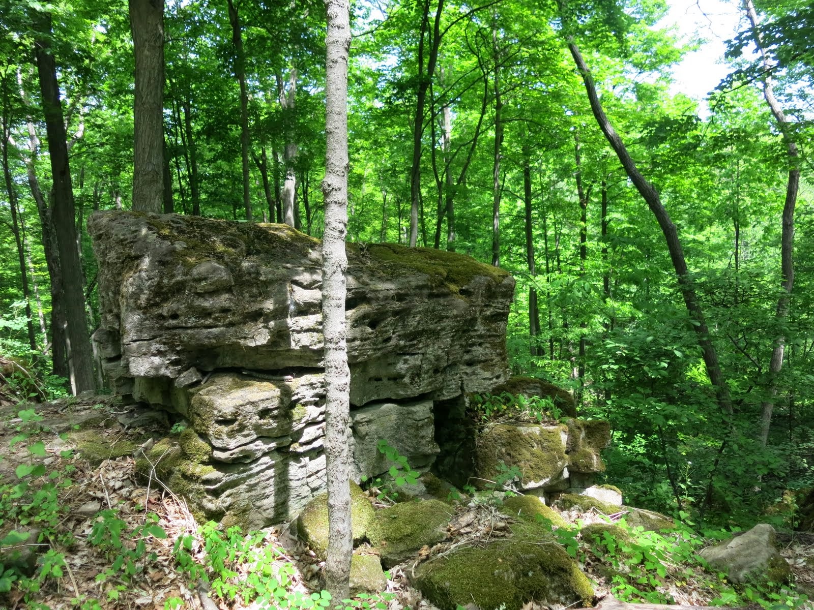
On the property is the site of an old mill, of which a small stone wall is still visible beside the stream above the waterfall. The water is falling over the Manitoulin Formation, a fine-layered dolostone and cutting into the Queenston Formation shale below.
 |
| Endering Webwood Falls property |
 |
| Webwood Falls |
 |
| Webwood Falls |
 |
| Ruins of Old Mill |
From here we turned north through a regenerating meadow where a buckthorn removal experiment is underway.
Buckthorn (also known as European buckthorn) is a small shrub or
tree native to Eurasia. It was introduced to North America in the 1880s
as an ornamental shrub and was widely planted for fencer rows and
windbreaks in agricultural fields. Since then it has spread aggressively
throughout southern Ontario and in other provinces.
Buckthorn can thrive in a wide range of soil and light
conditions, enabling it to invade a variety of habitats. It is most
often found in woodlands and open fields, where it forms dense stands
under which few other plants can grow. Buckthorn can spread widely with
the help of birds and animals that eat its fruit, carry the seeds long
distances and deposit them in their droppings. Stands of buckthorn can
invade roadsides, riverbanks, mature forests, farm fields and hydro
corridors.
We continued northwest and followed a row of walnut trees and a small stream to an open field and headed north.
We reached the Fairmount Wetlands complex and entered a sugar maple/hemlock forest passing between several types of wetlands. These wetlands include both open marsh where wood duck boxes are maintained and an unusual sedge fen. As we left the forest we crossed an open field to Grey Rd. 40.
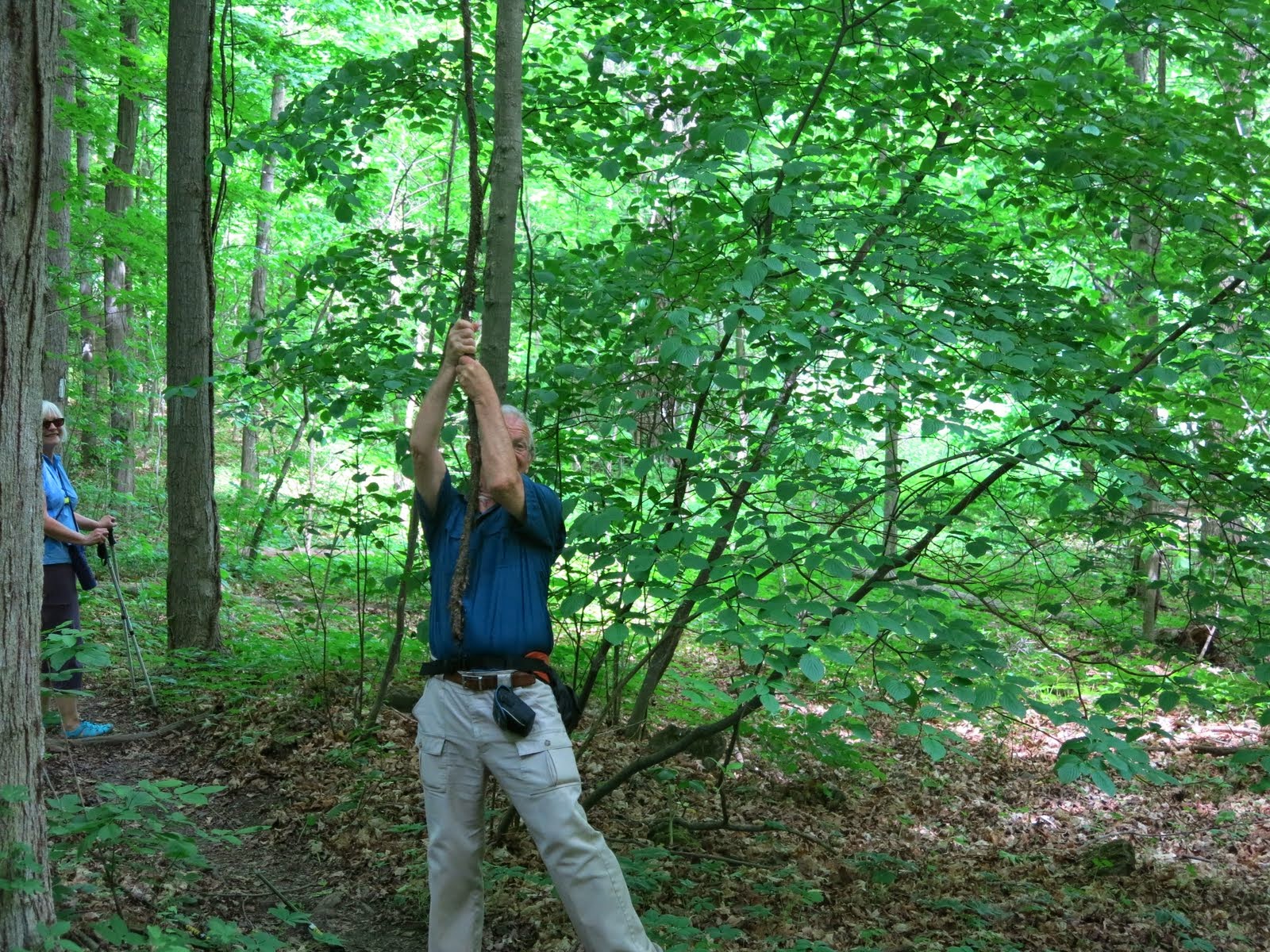
We crossed the road and followed a lane north through some dampish terrain to the top of the Escarpment. We skirted deep crevices in the rock and at one point briefly entered one. We continued through old fields to Grey Rd. 7.
We passed an old farmhouse and followed the Escarpment through a cedar bush and turned left to Euphrasia-St. Vincent Townline.
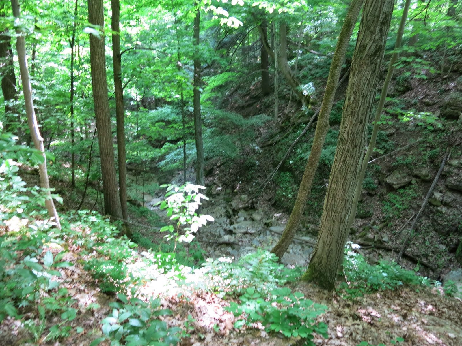
We followed the Escarpment edge through bush and open fields continuing west past some of the many deep crevices that are prevalent in this area.
 |
| The Green forest floor |
 |
| Columbia |
We crossed 7th Line and meandered south and west through cultivated fields and hardwood bush. We crossed a creek at Anthea's Waterfall, named in memory of Anthea East, daughter of Dr. Tom East, one of the founders of the BTC, who was killed in France in a cycling accident. We then emerged from a small plantation and reached Grey Rd. 12 in the historic hamlet of Blantyre.
 |
| Anthea Falls |
This completes the Beaver Valley section. We have now completed eight sections and have two sections left to complete the whole Bruce Trail end to end.
We picked up the other car, drove to Tim Hortons and drove home.