Guest Hiker: Joanne
Leader: Karen
Section and Distance: Beaver
Valley Km 56.2 to Km 70.1 Johnston’s Sideroad
Weather: Hazy and warm
Actual Distance hiked: 14.75 km
We left Oakville at 8:00 meeting at Tim Horton's for a "bush" break. We then positioned the two cars and started the hike at the parking lot of the Eugenia Fall's Conservation Area.
 |
| Starting the hike |

 |
| Eugenia Falls |

 |
| Eugenia Falls |
From the lookout we hiked along the ridge high above the Beaver River passing the end of the Eugenia Side Trail. We then descended gradually through a thick cedar cover and crossed an old cart track. We then climbed to a singular lookout that affords breathtaking views up and down the upper Beaver Valley. The lookout is a large till cone, a "kame" created by the plunge pool of an ancient intro-glacial waterfall. We then hiked down to the Lower Valley Rd and followed it left a short distance across a wetland.


We turned left off the road and gradually climbed a rocky hogsback ridge through a mature hardwood forest. We then entered a beautiful upland meadow marked at its summit by a single spectacular hemlock tree.
 |
| Elevensies under the hemlock tree |

We kept to the left and hiked up and along forested high ground and then descended to a new bridge over Rock Mills Creek. We continued through more forest and climbed out of the creek valley. We hiked along an open field and then descended to an old logging road into the beginning of a wide valley.
 |
| The Last Stand |


We passed the Hogg's Falls Lower Side Trail before entering and crossing a natural amphitheatre-like clearing. We then re-entered the bush passed the southern entrance to the Hogg's Falls Upper Side Trail.
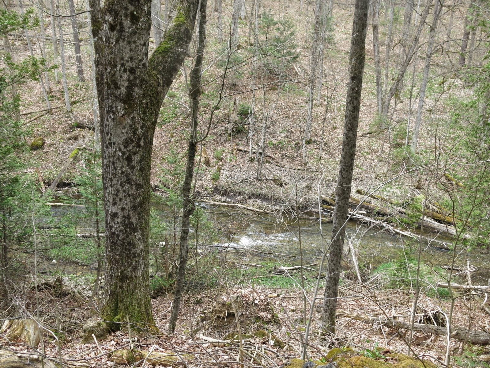
We continued west crossing the Lower Valley Rd and followed the Boyne River upstream to Hogg's Falls. From the falls we continued upstream passing the parking lot. We continued upstream along the river through cedar, spruce and tamarack on the East Back Line before turning right.
 |
| Amphitheatre-like clearing |
 |
| Case leading with his white cane |
 |
| Hoggs Falls |
We turned right on the road and hiked for a km before reaching a bridge of the Boyne River. We then turned north onto MNR property. We hiked the high ground along the west side of the Boyne River system on a long crossing of beautiful, rugged wilderness terrain. With the sound of falling water we continued north crossing above two beautiful cascading waterfalls descending once to touch the river and then ascending again.


 |
| We have come a long way |


We retrieved the other car and drove to the B&B where we checked in. After showering we drove to Meaford for dinner at the Leaky Canoe. Joanne decided that she was not up to hiking the full hike tomorrow. We made some changes to our hike for tomorrow and retired early after the long strenuous hike. We all agreed that it had been a great hike though.
No comments:
Post a Comment
Note: only a member of this blog may post a comment.