Leader: John G
Section and Distance: Iroquoia Km 0 to Km 2.1
Weather: Cloudy and Coldish
Actual Distance hiked: 8 km
This hike is a makeup for Case in conjunction with the Monday 8:30 drop in hike
We started the hike at the beach and followed the Forty Mile Creek Side Trail to the main trail.
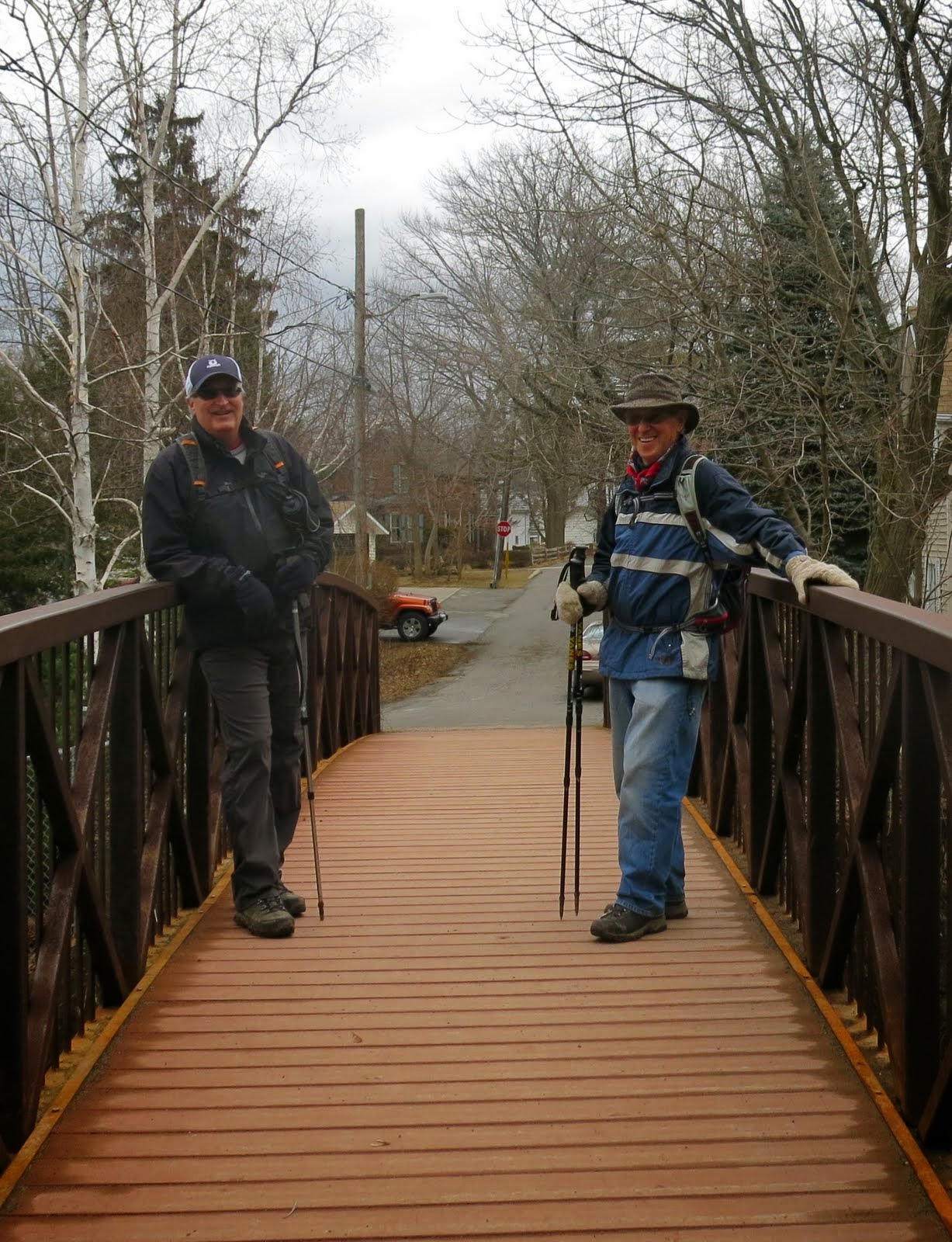
From the bridge we hiked along Gibson Street for 50 m and then turned left and climbed steadily to the top of the Escarpment.
 |
| First Spring Flowers |


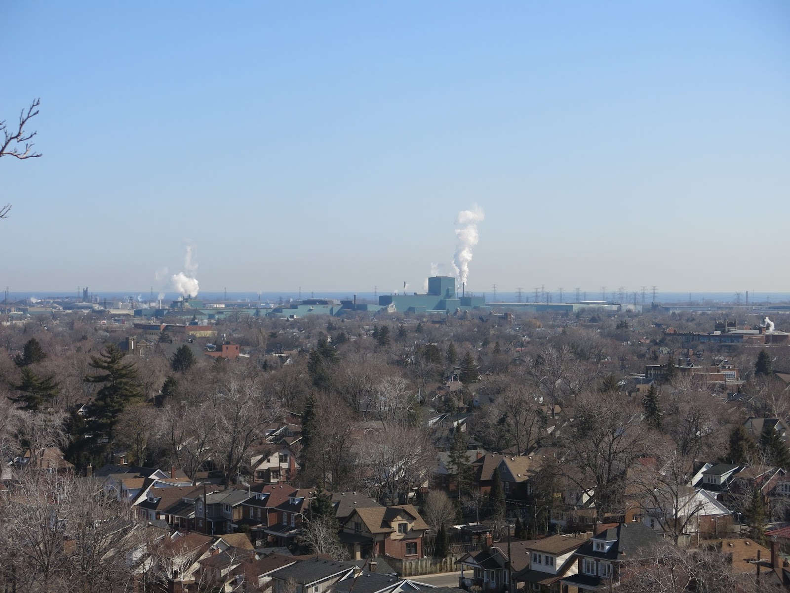
From the top we turned right and followed the Escarpment brow north to several lookout points at Grimsby Point Bluff.

We turned away from the brow and entered the open area of Beamer Memorial Conservation Area. This area is known for observing the hawk migration in the spring. There were people using the observation tower.


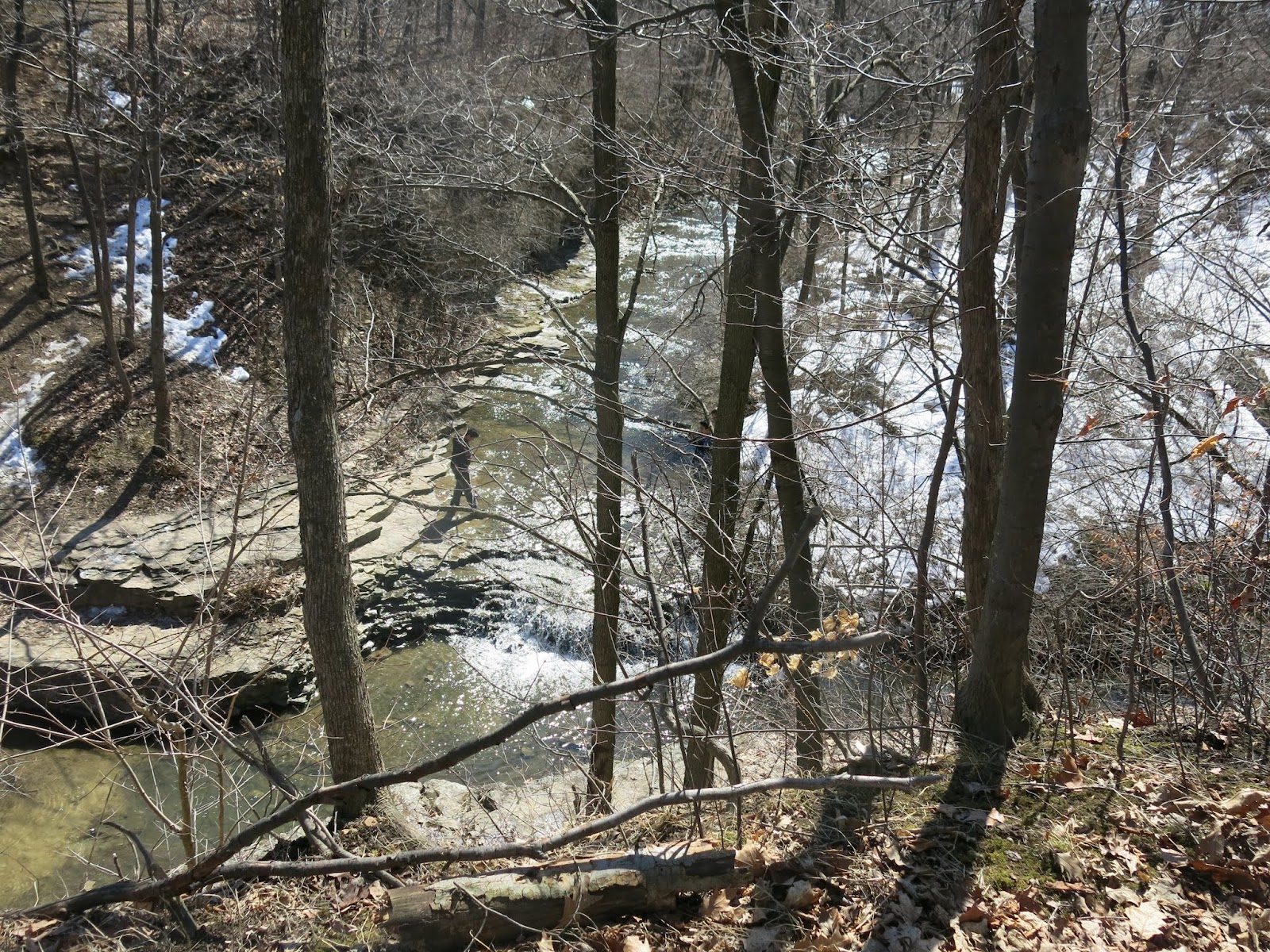
From here we took the Grimsby Point Side Trail to the Beamers Falls Side Trail to Beamers Falls. After observing the falls we made our way back to the beach to our cars.
 |
| Beamers Falls |
 |
| Beamers Falls |
 |
| Beamers Falls |
 |
| Beamers Falls |
 |
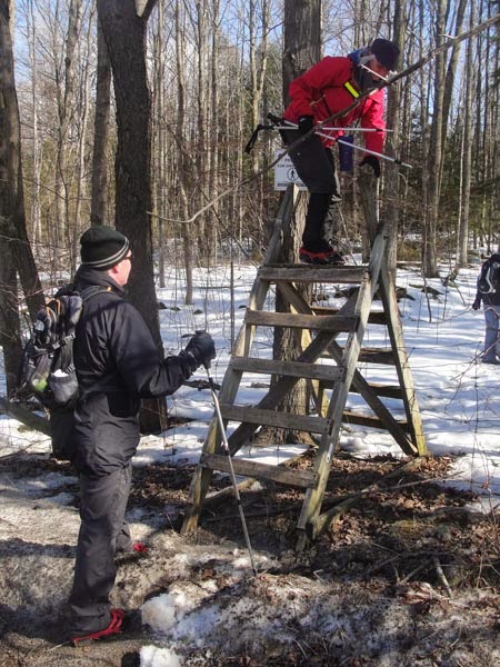
| Going Down |
 |
| Going Down |