Hikers: Case and Steve
Leaders: Karen and Richard
Section and Distance: Iroquoia Km 23.2 to Km 34.1
Weather: Sunny and Coldish
Actual Distance hiked: 12.15 km

This hike is a makeup hike for Case, who joined the group shortly after the New Year.
After positioning the cars, we started the hike at the Concession Street. The parking lot was closed due to construction so we parked our car in a church parking lot.
We took the Sam Lawrence Side Trail to the trail and turned left at the Jolly Cut and continued through the woods to the Sherman Access. We descended the Wentworth Street steps, to the Escarpment Rail Trail.
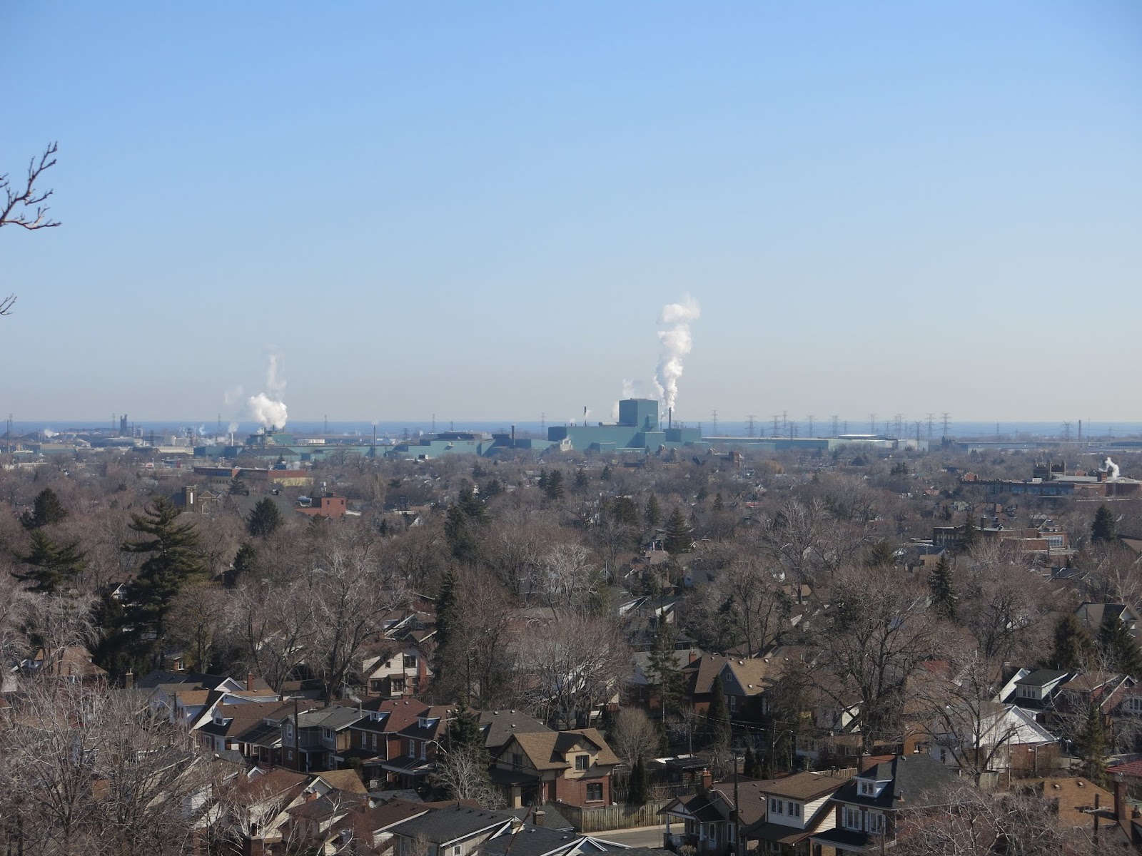


From the Escarpment Rail Trail we continued across the slope of an old ski hill through the woods. We continued up the Escarpment through a mature woodlot above Red Hill Creek and the King's Forest Golf Course to a large clearing. We crossed a concrete bridge over the creek and continued straight along the Red Hill Creek.


After a series of turns we came to an asphalt path, the Red Hill Valley Trail. On the left was the eastern terminus of the Mountain Brow Side Trail. We followed the now closed Mount Albion Road uphill and passed under the viaduct for the Red Hill Valley Parkway.
We entered a more open area and then hiked the multi-use East Mountain Trail Loop along the Escarpment Brow before emerging into the Conservation Area.
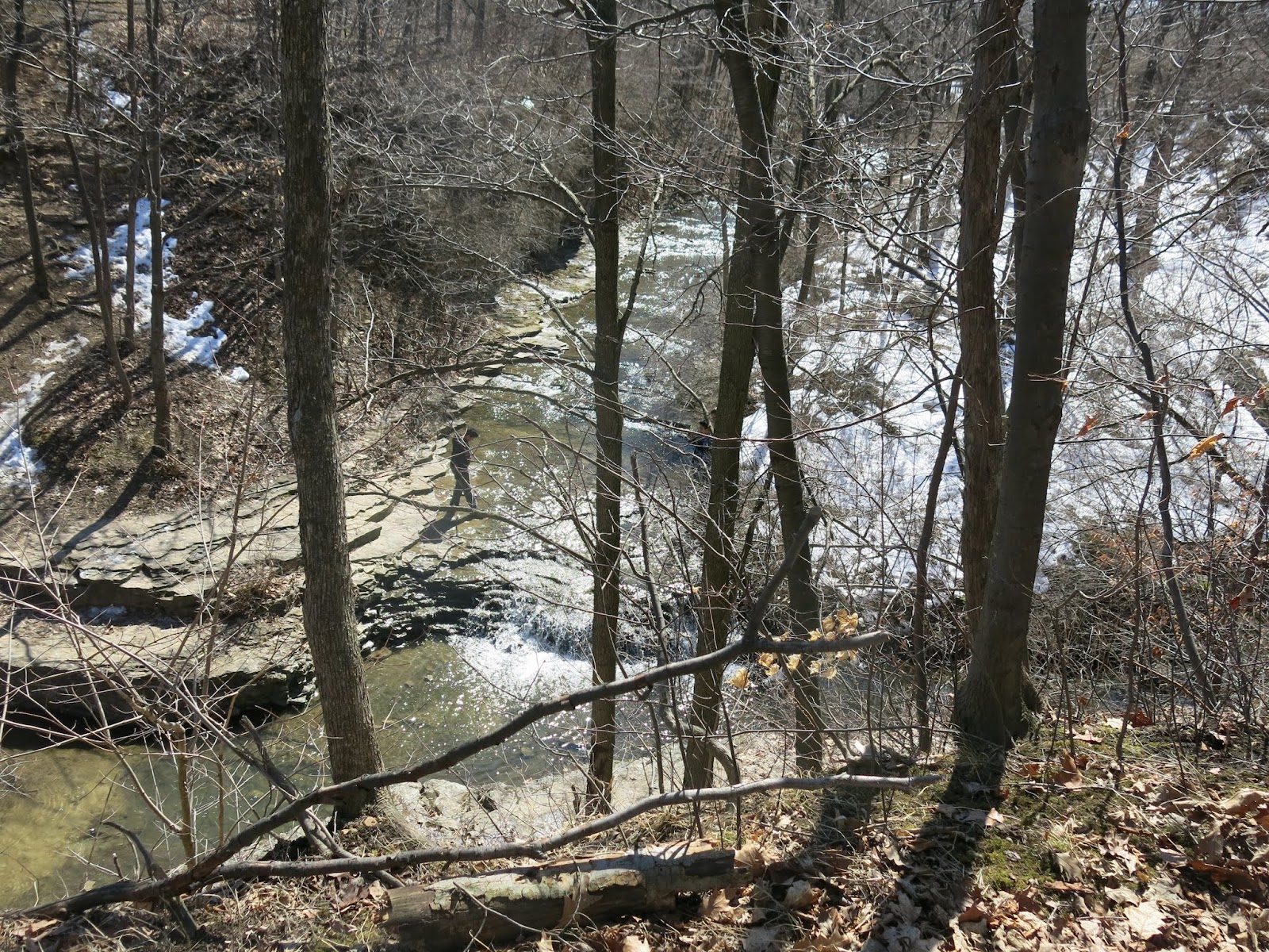
 |
| Felkers Falls |

We spent some time admiring the Felker's Falls, drove back to Concession Street to pick up the car, stopped at Tim Horton's and when home.
No comments:
Post a Comment
Note: only a member of this blog may post a comment.