Guest Hiker: Joanne
Leader: Karen
Section and Distance: Beaver
Valley Km 70.1 to 85.3
Weather: Sunny and Warm
Actual Distance hiked: 15.75
After a delicious breakfast at the B&B, we set off to start the hike. Because Joanne is not hiking the complete hike today we had to make some modifications.
We parked the first car at Km 85.3 and parked the second car at Km 81.5 which meant that Joanne would be hiking 4 kms today.
We met two bruce trail stewards who where working on the trail at the start of the hike. They mentioned that they had heard that there was some problems with the ladder and asked us to let them know if we found any problems with it. They also took our group picture.
 |
| Starting the hike |
We then hiked along a fence line to a staircase which we descended. With the aid of steps we descended steeply away from the rock race. We continued northward through a hardwood forest with rock formations to our right.

 |
| Going down the ladder |


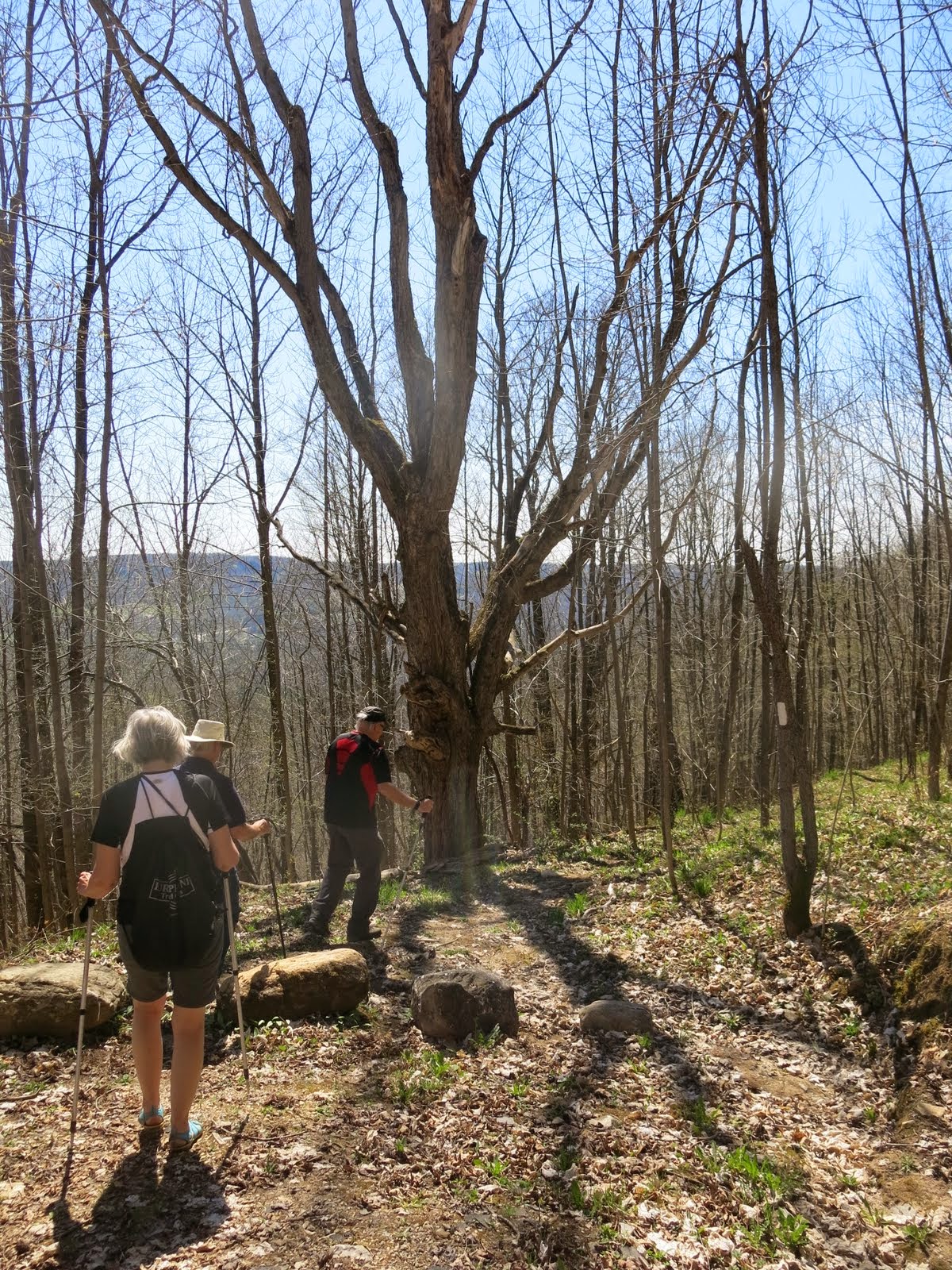
We continued to Sideroad 10B and descended gradually through a pleasant deciduous forest and continued generally northward. We then climbed back up to the top of the Escarpment. When we reached the crest we continued northerly at or near the edge through a mature hardwood forest with numerous crevices and rock formations until we reach Sideroad 13A where we had parked the car.


 |
| View of the valley |
 |
| Starting the second part of the hike |
We headed southward through the recently-acquired Kimberley Springs property, past the source of Bill's Creek bursting forth from the rock and then reached Sideroad 4 an unopened road allowance.


 |
| Elevensies |
 |
| Elevensies |

From the top of the ski hills runs we turned south downward to the top of the chair lift. Before going down the ski hill we engaged in a snow ball fight with the snow that was still remaining on the hill. From the chair lift we traversed a steep decline to a lovely stand of maples and beeches. From the bush we passed under the "Au Chute" chairlift. We turned left up the lower slope of the Beaver South ski run.
 |
| Ski hill |
 |
| Helgy starting the snow fight |


We continued along an open field along the hydro line out of of the Beaver Valley Ski Club reaching Grey Rd 30 at the bottom of Bowles Hill.
We next entered a meadow full of wild fruit trees and many long views north down the Valley. Entering the bush we crossed a stream via a stone ford. We climbed down close to the source of two lovely waterfalls and followed one of the steams up steeply through a forest.


We followed an old sunken pioneer cart track beneath some huge old-growth beech and maple trees.
We then headed southward through a pine plantation and some hardwood bush before crossing the Graham's Hill Road.

From Graham's Hill Road we followed a wooded fence-rows into a open farmland. We then hiked down a long slope and crossed two boardwalks before entering a mature hardwood forest. Upon existing the forest we crossed two hay fields and turned left to emerge onto Johnston's Side Road where our car was parked.
 |
| Trillium |
No comments:
Post a Comment
Note: only a member of this blog may post a comment.