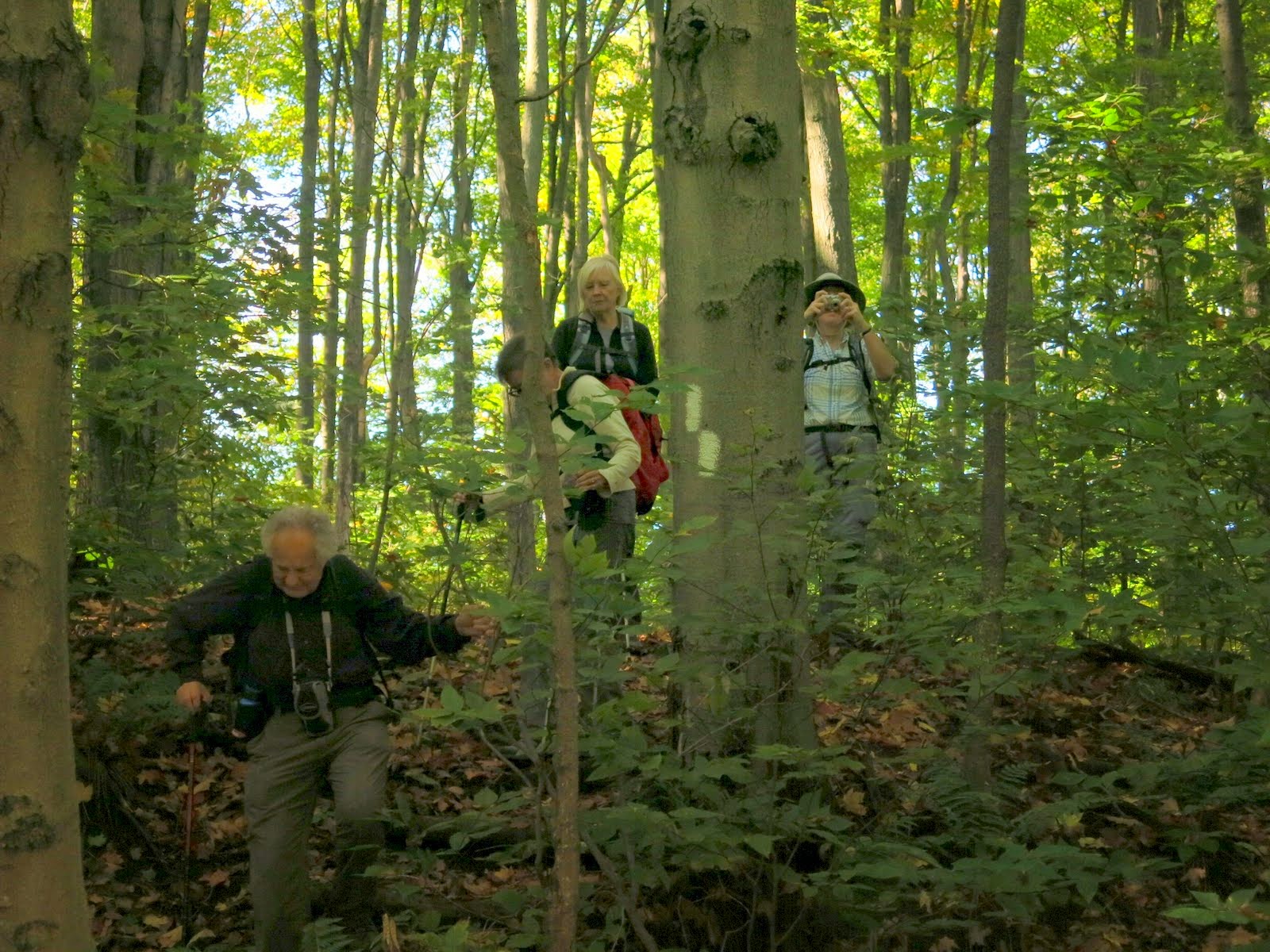
Hikers: Andy, Christine, Helgy, Anne G, Nancy and Steve
Leaders: Karen
Section and Distance: Caledon Section - km 61.6 to km 72.3.
Weather: Sunny and cool
Actual Distance hiked: 11.7 km
We left the centre at 8:00 and parked a car at 3rd line south of County Rd 8 and parked a car. We then drove to the Hockley Road Side Trail Parking Lot to start the hike.


 |
| Dead salmon |


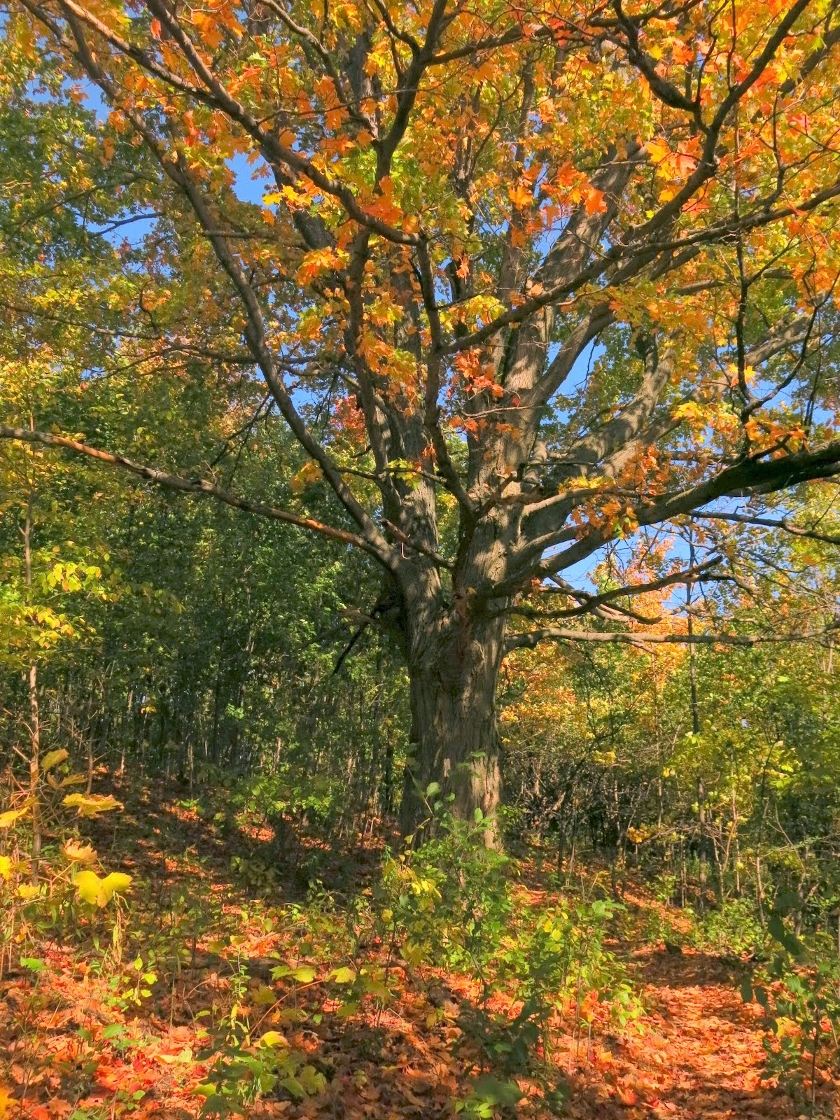
We left the woods and hiked through open fields and pineries to the top of Hockley Valley with vistas to the south and east, where we had our lunch.
We passed a BTC reforestation project on the way to Dunby Road.
We followed Dunby Road right to the 3rd Line and headed north along the road.


After 330 m we left the road to climb a rocky path to the top of the Escarpment. We headed through mixed hardwoods along the brow before descending the Escarpment crevices and a series of steps and continued to 3rd Line Centre Road, which is the end of our hike today and the completion of the Caledon Section.


 |
| End of Caldon Section |
 |
| Caledon Badge |
No comments:
Post a Comment
Note: only a member of this blog may post a comment.