Hikers: Bob, Helgy and Steve
Leaders: Karen and Richard
Section and Distance: Blue Mountain - 30.1 to 47.1
Weather: Warm with Sun and Cloud
Actual Distance hiked: 18.1 km

After positioning the cars we followed Simcoe Rd 124 for 50
m and followed the edge of the escarpment until we reached a road allowance. Crossing Simcoe 124 we entered the woods and
crossed a boardwalk through a privately owned forest and farm land to Concession 10. At Concession 10 we turned right and crossed
21/22 Sideroad to Simcoe Rd 91.


We paralleled the road for 700 m and then headed north following
the east side of a hedgerow skirting the edge of a field. We turned left and entered a maple forest and
followed the escarpment through a mixed hardwood forest. This section will be closed from Nov 15 to Feb 28 because the landowner is undertaking logging. We noticed that many trees had been marked for the operation. We had our elevensies here. Because it was remembrance day we observed a two minute silence. We then hiked to a large field and
turned right to cross a farmer’s field.
At the fence line we turned left and continued along the edge of the
field along a cedar rail fence to 26/27 Sideroad.
 |
| Elevensies |


Crossing 26/27 Sideroad we continued north along the
escarpment edge, meandering through a mature forest to Osprey-Clearview
Townline. The trail then turned right and
headed back to the edge of the escarpment to a lookout.


Some of us descending through a cut in the cliff
dropping steeply to a stream at the base of the escarpment on the Standing Rock and Caves side trail and rejoined the white trail at km 42. It was here that we had lunch.


We passed the stream and hiked northward along a decaying
rail fence descending to 30/31 Sideroad.
We crossed 30/31 Sideroad and continued north on the Blue
Mountain-Clearview Townline to the top of the hill. We descended the unopened road allowance to
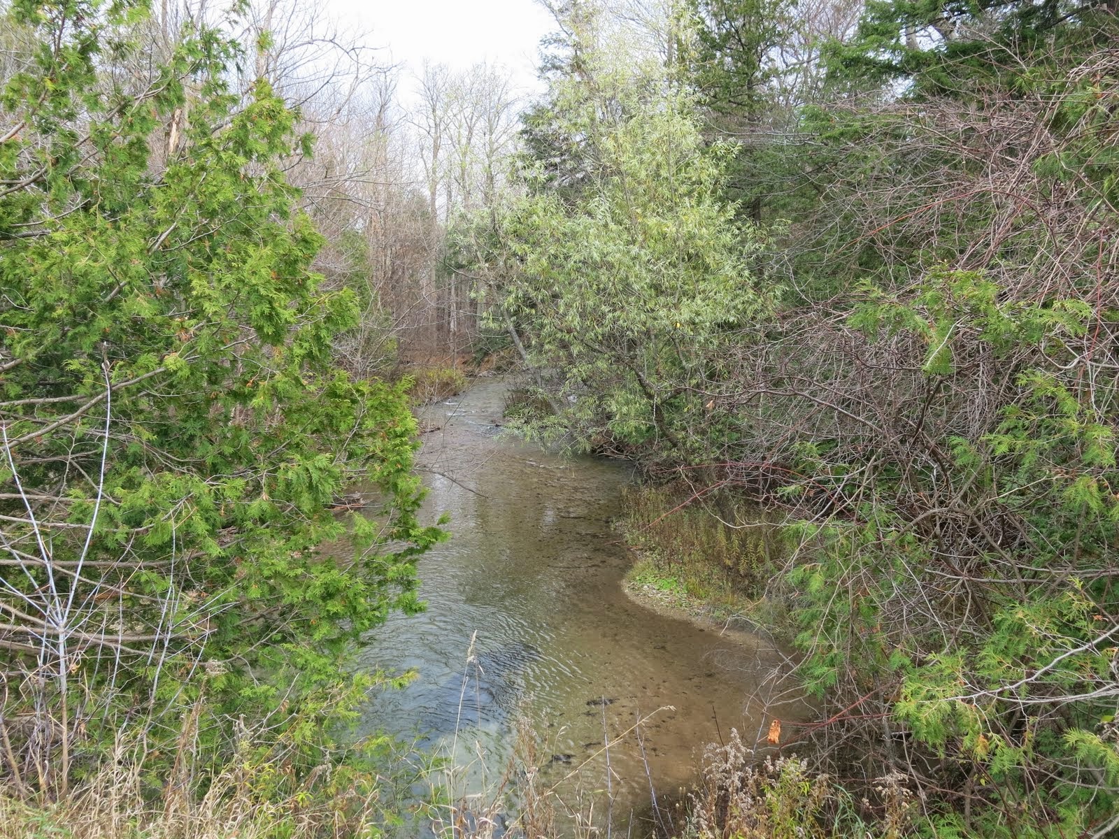
reach the Pretty River and followed the north bank of the river, heading
through a cedar forest to Pretty River Road.


 |
| Pretty River |

We picked up the other car, stopped at Tim Hortons, and drove
home.
No comments:
Post a Comment
Note: only a member of this blog may post a comment.