Leader: Karen
Section and Distance: Iroquoia Km 67.6 to Km 78.8
Weather: Sunny and cold (-18 degrees Celsius) - the coldest day this year. Minimal wind.
Actual Distance hiked: 11.4

After positioning the cars, we started the hike at Snake Road.
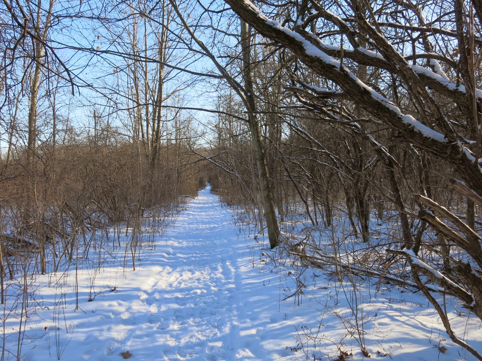
We hiked along a road allowance past swamp and sumac to the edge of the Grindstone Creek Valley and gradually descended to the floodplain and then crossed a bridge over Grindstone Creek. We continued on a gradual climb of forested slopes and continuous streams with views of the fast-flowing creek. Today the creek was mostly frozen.


We climbed across the valley slopes to reach steps leading to a switch back. We continued to an open area leading to a lookout over Great Falls and a small parking lot. We took a sharp right turn and followed a gravel path and steps to cross Mill Street and then crossed a grassy plain.

We entered a housing subdivision and followed Flanders Dr. for 85 m before turning left between the houses on the right-of-way and then turned right following the hydro lines south of Mountain Brow.
We crossed the road and climbed a stile into the BTC-owned McNally property. We turned left and soon entered the Conservation Halton's Waterdown Woods area. From here we followed an old race track and proceeded through a wooded area and crossed a grassy field.
We crossed a private road and continued through mature hardwoods to reach King Road. After crossing the road we entered another wooded area passing a lookout with views of Burlington and Lake Ontario. We left the brow and hiked to Kerns Road. After crossing the road, we passed through a small woodlot and skirted Kerncliff Park which is the site of a former quarry now being developed as parkland by the City of Burlington. We continued through the woods at the edge of a field and then descended into a wooded valley. Despite the cold we still stopped for our elevensies. After a short climb we turned left before leaving the escarpment to the north through a young woodlot to reach Signal Hill at Dundas Street.


We crossed the highway and turned right to pass through woods. We crossed Cedar Springs Road and followed the road for 100m. We climbed a stile and passed through private woodlots until we reach Fisher Access Trail. We took the access trail to our parked car.
We stopped at Tim Hortons on the way back to Snake Road, picked up the other car and drove home
No comments:
Post a Comment
Note: only a member of this blog may post a comment.