Leader: Karen
Section and Distance: Beaver Valley Km 42.1 to Km 56.2
Weather: Sun and cloud, coldish with some wind
Actual Distance hiked: 14.4
We enjoyed another great breakfast of yogurt and fruit compote, spinach quiche, orange juice and coffee. Mel joined us once more. After paying our bills we made arrangements to come again on May 5th when we hiked again on May 5th and 6th.
After breakfast we packed up the car and drove to the end point of the hike to drop of our car. Mel then dropped us all off at the Old Baldy Conservation Area parking lot.
 |
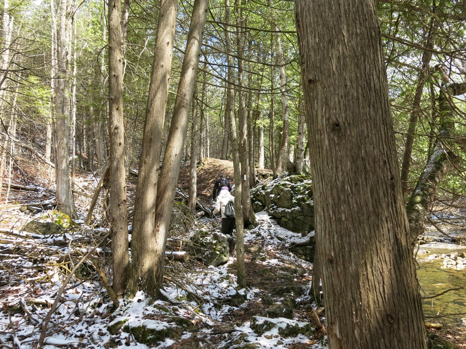
| Starting the hike |
From the Old Baldy Conservation Area parking lot we headed south along the cedar-lined Escarpment edge past several excellent viewpoints before reaching Old Baldy Lookout, where the Escarpment face is 150 m high. We continued south past several lookouts.
 |
| View |


We continued south to Sideroad 4B and then turned left for 300m before turning right to follow the 4th Line A south to meet the Artemesia-Euphrasia Townline Road. We turned right and followed the Townline Road west. We turned left and continued downhill through private land to reach Grey Rd 13.
In 2008 29 kms was added to the main trail which is now known as the Falling Water section. We are now starting that extension. On this section, you are never far from the sight and sound of falling water.
At the junction of County Rd 13 and the Artemesia/Euphrasia Towline we followed the est side of the road before turning right. We then followed the edge of a high secondary escarpment with spectacular views across the valley to the west. Also visible are large dolostone blocks which have broken away from the main Escarpment face and very deep vertical crevices. We then crossed a private driveway and descended to the main scarp face and followed it into a rugged and deep re-entrant valley with a creek and waterfall. We then climbed beside the creek and followed the scrap edge to the Ontario Power Generation property and made a steep climb beside the penstocks that carry water from Lake Eugenia to the turbines in the generating plant far below in the valley. Once at the top, we turned south again to pass through another beautifully wooded park like property.


When we reached Cambell's Hill Road, we headed uphill a short distance and then turned right onto an unopened road allowance and followed a stream for a short distance and then headed south through a hardwood bush. When we emerged from the bush we followed an unopened road allowance to the north limits of Eugenia North St. and followed its unopened portion to the right. We soon turned left through second growth and then through mature forest before beginning to climb to the heights above Eugenia Falls and Cuckoo Valley.


We continued to a spectacular lookout at the Upper Valley before descending steeply to the falls. Here we saw arches that mark the ends of a tunnel dug one hundred years ago in an abortive attempt to harness the power of the river. We continued upstream and crossed a new pedestrian bridge over the Beaver River.

We left the last .2 km to do next time and hiked to our car. We stopped of at Tim Horton's and drove home. We all agreed it had been an enjoyable three days despite the weather.
No comments:
Post a Comment
Note: only a member of this blog may post a comment.