Leader: Karen
Section and Distance: Sydenham Km 0.0 to Km 14.5
Actual Distance hiked: 15.79 km
We left Oakville at 8:00, stopping at Tim Hortons for a pit stop. We continued onward to 2nd Concession S, where we met up with Case. We drove back to Blantyre and parked on Grey Rd 12 to start the hike. This is Andy's first back to back hike since his accident last fall.
 |
| Starting the hike |
We walked on Grey Rd 12 for 60 m and then turned left down a farmer's lane. We headed around a field and then entered an open bush. We continued west and then turned right on the Deviation Road, where we met two people who where checking the conditions of the trail and they were painting the blazes. They had come up from Guelph. They mentioned that the bridge which we were coming up to had been repaired last year. After chatting a while we continued a short distance on the road and turned left into a grassy field and then entered a woods before crossing Rocklyn Creek. We hiked over a long boardwalk and then climbed steeply to a wooded ridge. We crossed over another boardwalk over a sap line past fields before entering a young forest.


 |
| Chatting with the volunteers from Guelph |


 |
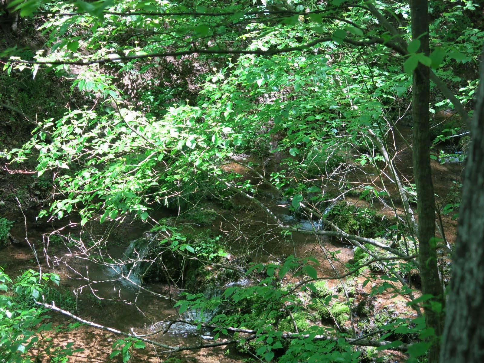
| Rocklyn Creek |


We crossed a rolling field with a view to the north. After following a ridge for a short distance, we turned abruptly right and descended steeply until we were parallel to Rocklyn Creek. In one of the many crevices we saw two baby foxes (no pictures) and continued on until we exited at Vincent-Sydenham Townline.


We turned left and followed the road for 700 m to a lookout. At the top we had our lunch.

 |
| Lunch |

We turned right at the top of the hill into the Walters Falls Conservation Area along an Escarpment ridge, descending into the valley before heading west to Grey Rd. 29. We crossed the road and turned left along a path that runs parallel to the road for 100 m. We entered a meadow and turned left once more crossing Grey Rd. 29. We then crossed Sydenham-Holland Townline and descended to the right into the river valley of Walter's Creek. We entered a cedar forest along the riverbank and climbed a cart path to the scrap edge where the valley narrows. We left the forest at the Falls Inn and passed through its parking lot to a viewing area a the very brink of the falls. The woolen mill is still standing today.


 |
| Walter's Falls |
 |
| Wooden Mill |
We crossed a bridge and returned to the edge of the Escarpment. We turned uphill passed the water turbine which had been used by the sawmill.
We descended into the river valley and reached Grey Rd 29. We then entered a cedar forest crossing a small stream and climbed a hill. We turned to the right and followed the edge of a field to the tree line. We continued north, descending a series of switch backs to the river's edge and the Holland-Sydenham Townline.


We crossed the road and entered the Walters Falls Management Area. We followed close to the riverbank and meandered through a beautiful forest past huge stands of beech trees. We turned left and climbed a hill following a fence line to the 2nd Concession S which is the highest point in the area and offers good views out over the Bighead River Valley. We followed 2nd Concession S to our car to the end of the hike.


We picked up the other car and drove back to the Rocklyn Inn. After a happy hour, we went to Meaford and had dinner at our usual hangout "The Leeky Canoe".
No comments:
Post a Comment
Note: only a member of this blog may post a comment.