Guest Hiker: Ros
Leaders: Richard and Karen
Section and Distance: Sydenham Km 29.7 to Km 44
Actual Distance hiked: 19.25 km
We left Oakville and met at Tim Hortons for our usual pit stop.
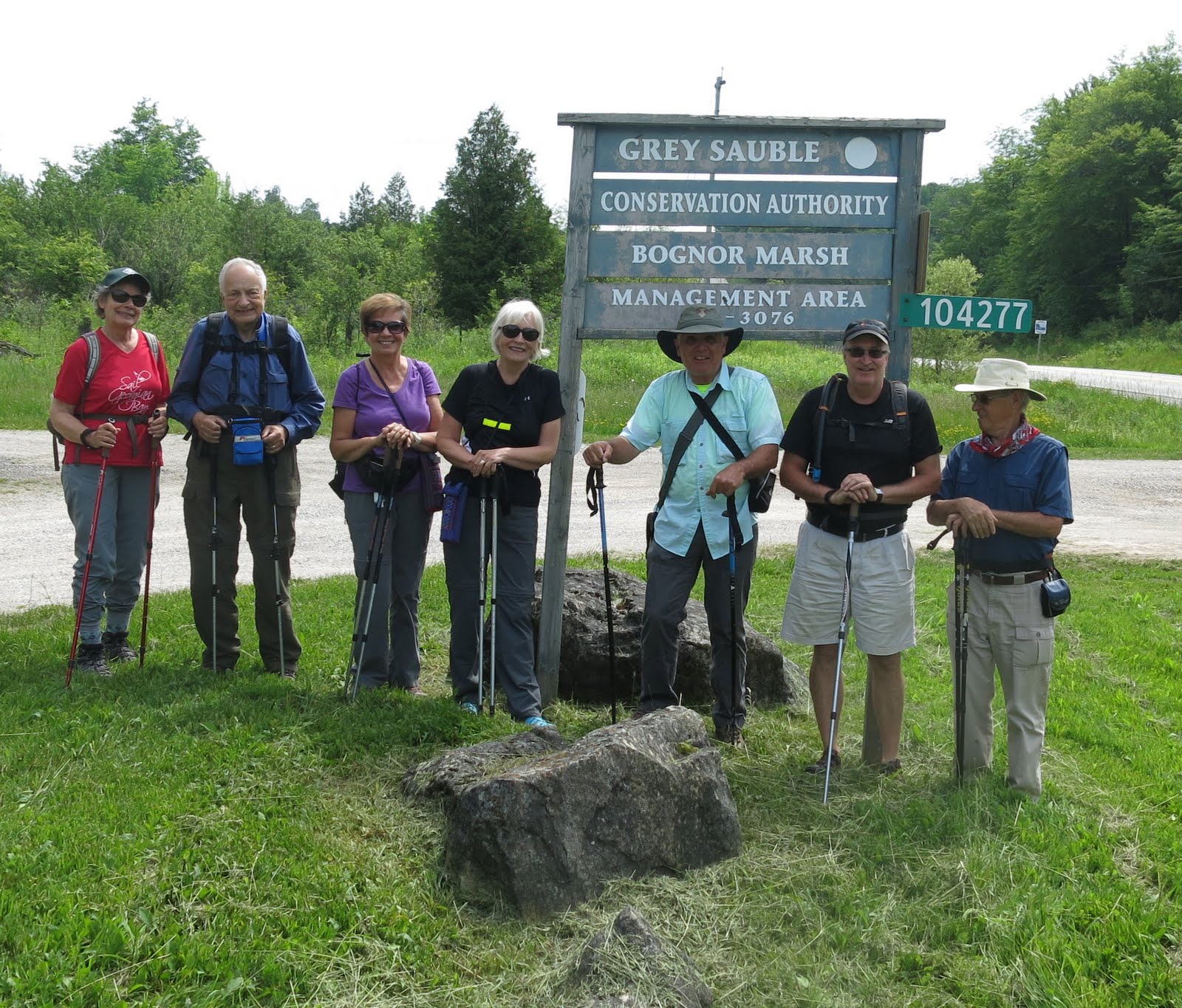

After positioning the cars we continued north into the Bognor Marsh Management Area along an access road for 500 m to a clearing where there were picnic tables and washrooms. The Management Area includes upland forests, three major marshes, natural regneration areas and several small springs feeding the marsh and stream system. It is home to a variety of waterfowl and other marsh-living animals, birds and plants.
We turned left at the edge of the dam and continued west, crossing a pond on the floating boardwalk.
 |
| Entering the Bognor Marsh Management Area |


 |
| Ontario Anemone |
We then turned right into a cedar forest and continued to the west to an old cart path. We turned right and followed the path, which was very muddy, to a bridge, where we turned sharply left and we climbed the escarpment. When we reached the summit we turned right and followed the scarp edge to another cart path.


We continued east and exited the Bognor Marsh area and entered the BTCs recently acquired Silent Valley Nature Reserve, where we said goodbye to Ros. We descended the Escarpment only to ascend it again and entered the property donated to the BTC. We continued east and then north and eventually reached a glacial spillway. We followed the spillway down the escarpment past a cave and continued left along a forested path. We then climbed back up the escarpment to a thick stand of spreading Canada Yew.
 |
| Saying Goodbye to Ros |


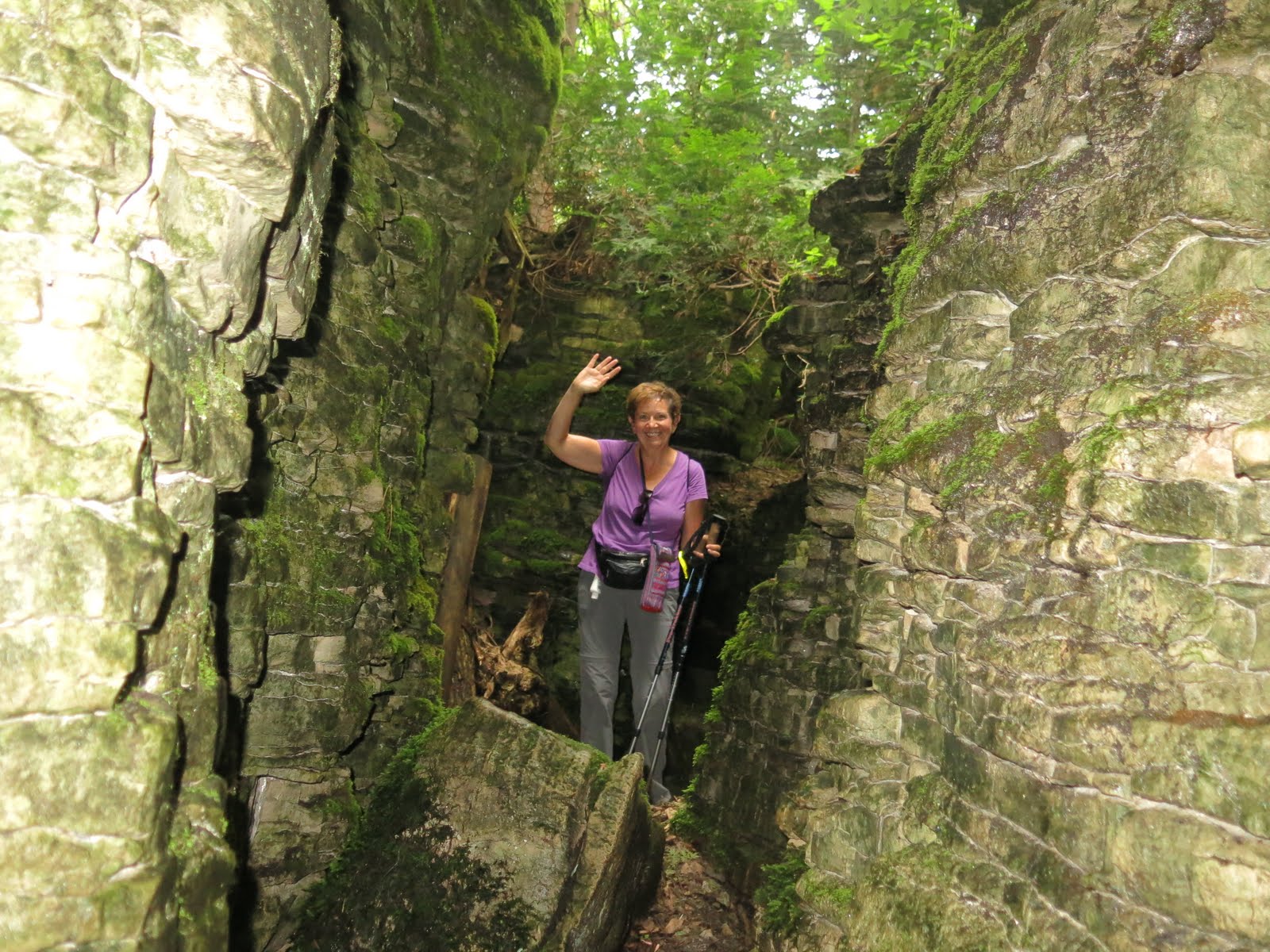
We suddenly turned right and descended a spectacular crevice. We gradually ascended the escarpment to BTC-owned land. We passed several crevices and caves and then crossed Hwy 26.
 |
| Lunch |


We followed the road through the hamlet of Woodford and then turned left onto a private laneway. We followed a narrow easement along the edge of the laneway for 100 m and reached the foundation of a pioneer church.


We crossed the usually dry stream above the waterfall and descended the escarpment to the outlet of the spring. We passed the foundation of the settler's barn and cabin as we climbed up to the scarp edge and then dropped into a narrow crevice. We continued eastward to reach the St. Vincent-Sydenham Townline. We turned left and followed the re-route north on the road to the River Kwai Side Trial, where we had parked our car.


Because of the time, we decided to go to dinner in Meaford at the Leeky Canoe before we went to our accommodation at the Rocklyn Inn.
No comments:
Post a Comment
Note: only a member of this blog may post a comment.