Weather: Cloudy with a few sunny periods later.about 14C
Actual Distance hiked: about 22 km
This is a makeup hike for Christine, Andy and Case
 |
| Hikers; Case, Helgy, Christine, Ann, Steve, Andy and our leader Richard |
We chose to hike this section from north to south so parked the first car on Pretty River Road at the Pretty River Access Trail then drove to Maple Lane to start the hike.
 |
We came prepared for rain all day, although the air remained hazy, we were pleasantly
surprised as it actually never rained and we saw the sun several times
surprised as it actually never rained and we saw the sun several times


 |
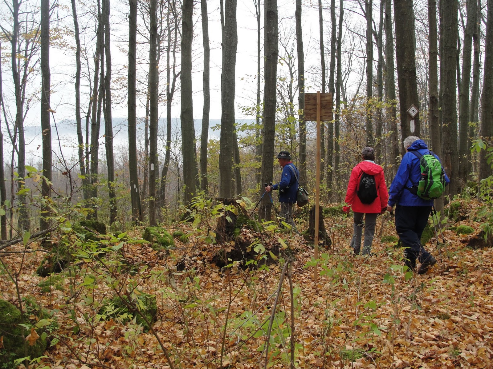
| We hiked along the crest of the Blue Mountain Ski Resort. |
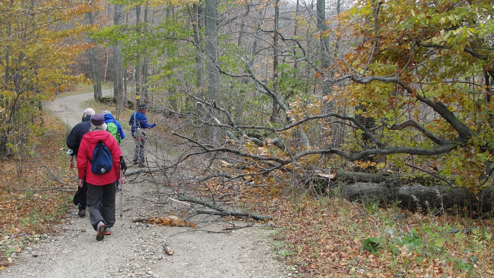 |
We were not detered by obstacles thrown in our path ....
 |
Mist in the valley. We stopped here for elevensies.

 |
| Yellow Spotted Salamander |
 |
At the 12th Sideroad, km 62.9, we were forced to detour because a bridge across a deep gully in the
next section was not useable. We hiked west along the 12th, then south on the 4th Concession and
east on Grey Co. Rd 19 and returned to the Trail at the Third Line, km 56.7, adding about km 2.
next section was not useable. We hiked west along the 12th, then south on the 4th Concession and
east on Grey Co. Rd 19 and returned to the Trail at the Third Line, km 56.7, adding about km 2.

 |
This would seem a bit of overkill ...


 |
| This really is snow. Apparently it snowed up here yesterday. |
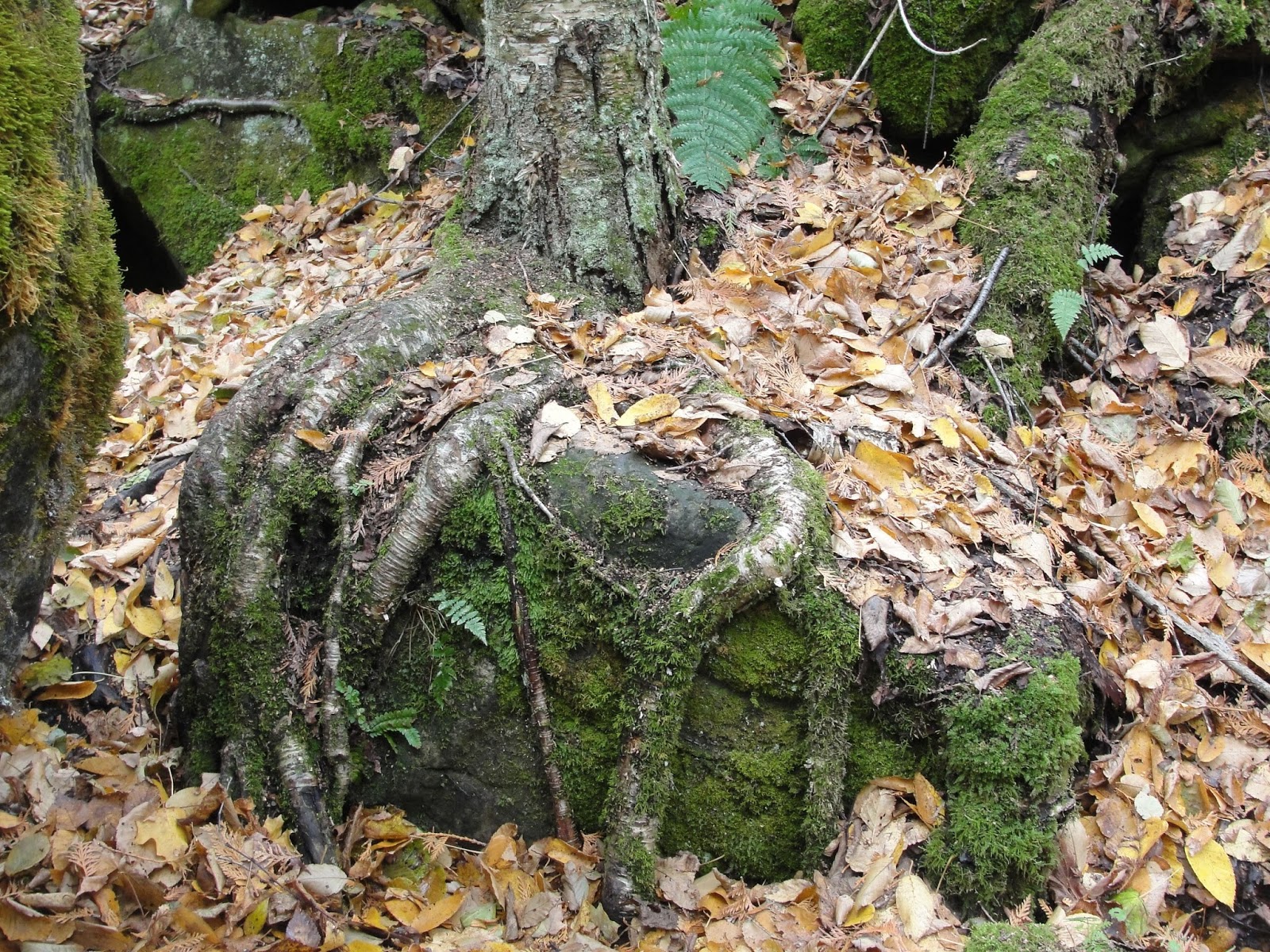 |
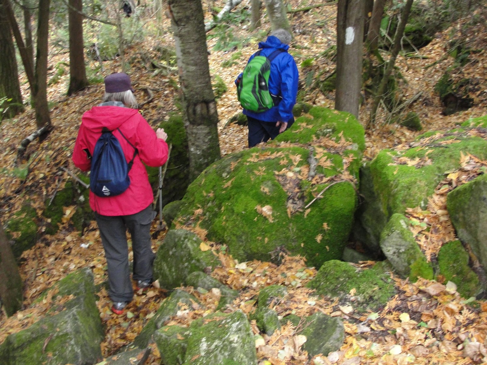
| I have trouble making things grow in two feet of topsoil, how does this happen ? |
 |
| Lunch Break |


 |
We turned on to the John Haigh Side Trail.and climbed to the Highest Point on the Bruce Trail' - 540 metres above sea level


 |
Car. We picked up the other car and met in Tim Horton's at Orangeville to discuss our next
expedition.
No comments:
Post a Comment
Note: only a member of this blog may post a comment.