Weather: Moderate temperatures with a light drizzle for the first 20 minutes or so.
We began the hike in a light drizzle which soon passed. Unfortunately, our leader slept in so we had an unexpected late start.


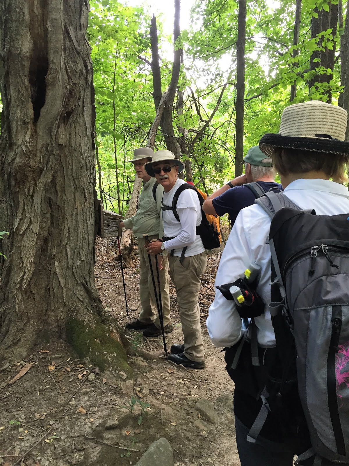
However, the trail started up a long steep dirt road until we turned into the forest and encountered a trail book that Annette signed on our behalf.

The trail continued up the escarpment adjacent to farmers fields with very skittish cows that kept their distance from us.


Upon reaching the top of the escarpment the sun came out as we looked out over the valley and the farms.


We continued our hike amid the farmers fields.

Windmills were visible on the hazy horizon.

and wild berries along the edge of the fields.

After crossing Prince of Wales Road Road the trail renters the forest and declines steeply followed by a steep climb out of the valley.


A large mushroom (for Case).

A second Trail Book was soon encountered
After crossing Centre Road the trail renters the forest and declines steeply to Black Bank creek followed by a steep climb out of the valley.


The trail continues adjacent to farm fields until reaching 1st Line East Road allowance and then continues north.

The trail through this section had gentle hills both up and...

down.


The trail final emerges from the forest at Mulmar-Nottawasaga Townline and our car was in sight just at the top of the next hill.

and one final idyllic farm view before reaching the car.

The car shuffle, a stop at Timmie's, and we were homeward bound.
No comments:
Post a Comment
Note: only a member of this blog may post a comment.